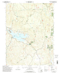
1994 Map of Antelope Lake
USGS Topo · Published 1998About this map
Antelope Lake sits at the heart of this high-elevation landscape within the Plumas National Forest, defined by a complex network of canyons and high ridges in the Diamond Mountains. The reservoir, with its Spillway Elevation 5002, is surrounded by recreational and administrative points of interest, including the Boulder Creek Work Center, a Boat Ramp, and several lookout points like Vista Point. The presence of Fruit Growers Blvd and the Janesville Grade hint at the area's history of timber harvesting and mountain passage.
Find a feature on this map
39 named features on this map. Tap any name to fly to it.
Don’t see what you’re looking for? This feature index may not catch every label — zoom into the map to look around manually.
Map Details
Editions of this 1994 Antelope Lake Map
2 editions found
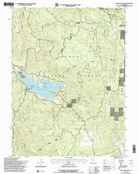
Other maps of this area

1886 · Honey Lake
USGS Topo · 1:250,000

1891 · Honey Lake
USGS Topo · 1:250,000

1893 · Honey Lake
USGS Topo · 1:250,000

1950 · Kettle Rock
USGS Topo · 1:62,500

1950 · Milford
USGS Topo · 1:62,500

1954 · Susanville
USGS Topo · 1:62,500

1954 · Litchfield
USGS Topo · 1:62,500

1955 · Westwood
USGS Topo · 1:250,000

1958 · Westwood
USGS Topo · 1:250,000

1959 · Westwood
USGS Topo · 1:250,000