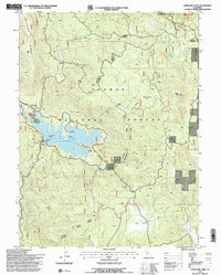
1994 Map of Antelope Lake
USGS Topo · Published 1998About this map
Antelope Lake serves as the central focal point of this high-elevation landscape within the Plumas National Forest. Reaching a spillway elevation of 5002, the lake is surrounded by varied terrain including Dedication Island, Long Point, and a Vista Point overlooking the water. The map documents several isolated forest dwellings such as Wemple Cabin, Pioneer Cabin, and Harwood Cabin, which suggest a history of seasonal residence and forest management in this part of the Diamond Mountains.
Find a feature on this map
39 named features on this map. Tap any name to fly to it.
Don’t see what you’re looking for? This feature index may not catch every label — zoom into the map to look around manually.
Map Details
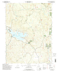
Editions of this 1994 Antelope Lake Map
2 editions found
Other maps of this area

1886 · Honey Lake
USGS Topo · 1:250,000

1891 · Honey Lake
USGS Topo · 1:250,000

1893 · Honey Lake
USGS Topo · 1:250,000

1950 · Kettle Rock
USGS Topo · 1:62,500

1950 · Milford
USGS Topo · 1:62,500

1954 · Susanville
USGS Topo · 1:62,500

1954 · Litchfield
USGS Topo · 1:62,500

1955 · Westwood
USGS Topo · 1:250,000

1958 · Westwood
USGS Topo · 1:250,000

1959 · Westwood
USGS Topo · 1:250,000