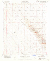
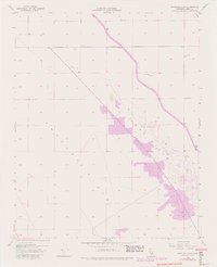
1954 Map of Antelope Plain
USGS Topo · Published 1956About this map
Antelope Plain transitions into the rising terrain of the Lost Hills in this mid-century look at Kern County's extractive landscape. The area is defined by intensive industrial activity, where numerous Oil Wells and associated infrastructure like an Oil Sump and Oil Tanks dominate the eastern ridges. This 1954 revision reflects a period when the San Joaquin Valley’s petroleum and mineral resources were being heavily developed, as evidenced by the series of Gypsum Quarries and a specific Gypsum Quarry mapped along the hillsides. Away from the industrial core, the presence of a lone Windmill and various isolated wells indicates the sparse agricultural or livestock support structures required in this arid environment. The map captures the intersection of large-scale resource extraction and the fundamental infrastructure needed to maintain these operations in the California interior.
Find a feature on this map
14 named features on this map. Tap any name to fly to it.
Don’t see what you’re looking for? This feature index may not catch every label — zoom into the map to look around manually.
Map Details
Editions of this 1954 Antelope Plain Map
6 editions found
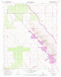
Other maps of this area

1914 · Lost Hills
USGS Topo · 1:125,000

1930 · Avenal Gap
USGS Topo · 1:31,680

1932 · Antelope Plain
USGS Topo · 1:31,680

1932 · West of Goose Lake
USGS Topo · 1:31,680

1932 · Reynolds Ranch
USGS Topo · 1:31,680

1932 · West Camp
USGS Topo · 1:31,680

1932 · Lone Tree Well
USGS Topo · 1:31,680

1933 · Avenal Gap
USGS Topo · 1:31,680

1934 · West of Goose Lake
USGS Topo · 1:31,680
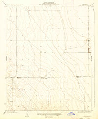
1935 · West Camp
USGS Topo · 1:31,680