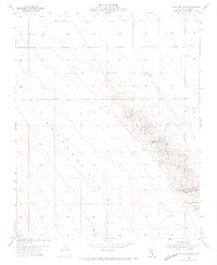
1954 Map of Antelope Plain
USGS Topo · Published 1974About this map
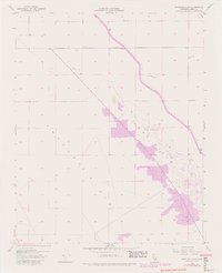
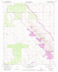
Industrial extraction dominates the landscape of the western San Joaquin Valley in this mid-century survey. The Lost Hills rise sharply from the flat Antelope Plain, defined by a dense concentration of Oil Wells, storage infrastructure like Oil Tanks, and a system of sumps. This topography reveals the extensive development of the South Belridge and Lost Hills oil fields during California's post-war energy boom. Beyond petroleum, the map details an active surface mining industry with numerous Gypsum Quarries and an isolated Gypsum Quarry carved into the hillsides. The infrastructure of water management is also prominent, with multiple Water Tanks and wells scattered across the plain, supporting the resource-heavy operations in this arid environment.
Find a feature on this map
13 named features on this map. Tap any name to fly to it.
Don’t see what you’re looking for? This feature index may not catch every label — zoom into the map to look around manually.
Map Details
Editions of this 1954 Antelope Plain Map
6 editions found
Other maps of this area

1914 · Lost Hills
USGS Topo · 1:125,000

1930 · Avenal Gap
USGS Topo · 1:31,680

1932 · Antelope Plain
USGS Topo · 1:31,680

1932 · West of Goose Lake
USGS Topo · 1:31,680

1932 · Reynolds Ranch
USGS Topo · 1:31,680

1932 · West Camp
USGS Topo · 1:31,680

1932 · Lone Tree Well
USGS Topo · 1:31,680

1933 · Avenal Gap
USGS Topo · 1:31,680

1934 · West of Goose Lake
USGS Topo · 1:31,680
1935 · West Camp
USGS Topo · 1:31,680