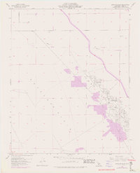
1954 Map of Antelope Plain
USGS Topo · Published 1976About this map
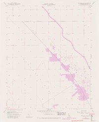
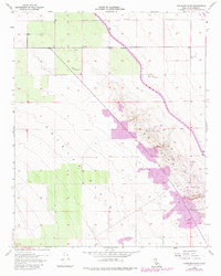
Antelope Plain defines this expanse of the San Joaquin Valley, captured here as it appeared in the mid-1950s with updates through the early 1970s. The landscape is characterized by a sprawling industrial infrastructure dedicated to petroleum extraction, particularly along the eastern edge where the Lost Hills rise. Dense clusters of Oil Wells, supported by Oil Tanks and an Oil Sump, dominate the terrain in a pattern of systematic resource development.
Find a feature on this map
15 named features on this map. Tap any name to fly to it.
Don’t see what you’re looking for? This feature index may not catch every label — zoom into the map to look around manually.
Map Details
Editions of this 1954 Antelope Plain Map
6 editions found
Other maps of this area

1914 · Lost Hills
USGS Topo · 1:125,000

1930 · Avenal Gap
USGS Topo · 1:31,680

1932 · Antelope Plain
USGS Topo · 1:31,680

1932 · West of Goose Lake
USGS Topo · 1:31,680

1932 · Reynolds Ranch
USGS Topo · 1:31,680

1932 · West Camp
USGS Topo · 1:31,680

1932 · Lone Tree Well
USGS Topo · 1:31,680

1933 · Avenal Gap
USGS Topo · 1:31,680

1934 · West of Goose Lake
USGS Topo · 1:31,680
1935 · West Camp
USGS Topo · 1:31,680