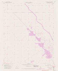
1954 Map of Antelope Plain
USGS Topo · Published 1982About this map
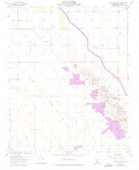
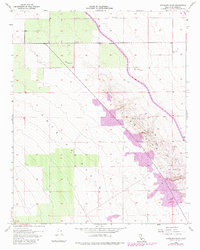
Antelope Plain dominates this landscape in Kern County, revealing a mid-century industrial terrain defined by the extraction of natural resources. The development of the California Aqueduct is a prominent feature, cutting across the northeastern portion of the sheet. This massive water infrastructure project reflects the intensive engineering efforts required to support the region's economy. Extensive clusters of Oil Wells, Oil Tanks, and an Oil Sump concentrated near the Lost Hills indicate the significant scale of the local petroleum industry. Sparse agricultural markers, such as a Windmill and a Ditch, appear alongside these industrial sites, showing the coexistence of ranching or farming with oil production during this era. The map traces the transformation of an arid landscape through both large-scale water diversion and subterranean mineral wealth.
Find a feature on this map
17 named features on this map. Tap any name to fly to it.
Don’t see what you’re looking for? This feature index may not catch every label — zoom into the map to look around manually.
Map Details
Editions of this 1954 Antelope Plain Map
6 editions found
Other maps of this area

1914 · Lost Hills
USGS Topo · 1:125,000

1930 · Avenal Gap
USGS Topo · 1:31,680

1932 · Antelope Plain
USGS Topo · 1:31,680

1932 · West of Goose Lake
USGS Topo · 1:31,680

1932 · Reynolds Ranch
USGS Topo · 1:31,680

1932 · West Camp
USGS Topo · 1:31,680

1932 · Lone Tree Well
USGS Topo · 1:31,680

1933 · Avenal Gap
USGS Topo · 1:31,680

1934 · West of Goose Lake
USGS Topo · 1:31,680
1935 · West Camp
USGS Topo · 1:31,680