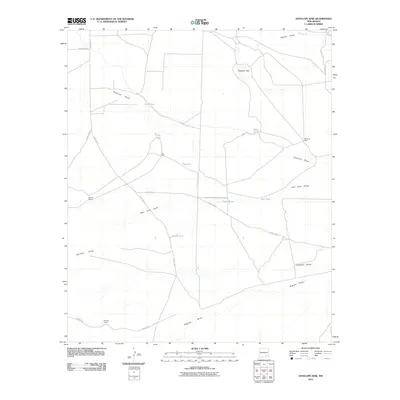
2010 Map of Antelope Sink
USGS Topo · Published 2010About this map
Antelope Sink characterizes this pocket of Eddy County, where the desert landscape is defined by its vital water management and natural drainage systems. In this arid environment, the presence of named cattle operations like Runyan Ranch and Bunting Ranch suggests the long-standing ranching traditions of the region. The map meticulously records a network of ephemeral watercourses including Rio Peñasco, Walnut Draw, and Fourmile Draw, which shape the local topography.
Find a feature on this map
24 named features on this map. Tap any name to fly to it.
Don’t see what you’re looking for? This feature index may not catch every label — zoom into the map to look around manually.
Map Details
Editions of this 2010 Antelope Sink Map
This is the sole edition of this map. No revisions or reprints were ever made.
Other maps of this area

1954 · Carlsbad
USGS Topo · 1:250,000

1955 · Hope
USGS Topo · 1:24,000

1956 · Hope
USGS Topo · 1:24,000

1956 · Parish Ranch
USGS Topo · 1:24,000

1956 · Antelope Sink
USGS Topo · 1:24,000

1956 · Hope SE
USGS Topo · 1:24,000

1957 · Foster Ranch
USGS Topo · 1:24,000

1957 · Box Canyon Ranch
USGS Topo · 1:24,000

1958 · Carlsbad
USGS Topo · 1:250,000

1960 · Teel Ranch
USGS Topo · 1:62,500