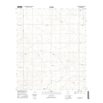
2017 Map of Antelope Sink
USGS Topo · Published 2017About this map
Antelope Sink characterizes this portion of the New Mexico high desert, where water management is the defining feature of the landscape. The map reveals an intricate network of livestock watering points such as Rock Tank, Hilt Tank, and the curiously named Coffin Tank, which supported the region's ranching operations. These features are distributed across the drainage basins of Catclaw Draw and Siegrest Draw, which eventually lead toward the Rio Penasco in the northeast corner.
Find a feature on this map
30 named features on this map. Tap any name to fly to it.
Don’t see what you’re looking for? This feature index may not catch every label — zoom into the map to look around manually.
Map Details
Editions of this 2017 Antelope Sink Map
This is the sole edition of this map. No revisions or reprints were ever made.
Other maps of this area

1954 · Carlsbad
USGS Topo · 1:250,000

1955 · Hope
USGS Topo · 1:24,000

1956 · Hope
USGS Topo · 1:24,000

1956 · Parish Ranch
USGS Topo · 1:24,000

1956 · Antelope Sink
USGS Topo · 1:24,000

1956 · Hope SE
USGS Topo · 1:24,000

1957 · Foster Ranch
USGS Topo · 1:24,000

1957 · Box Canyon Ranch
USGS Topo · 1:24,000

1958 · Carlsbad
USGS Topo · 1:250,000

1960 · Teel Ranch
USGS Topo · 1:62,500