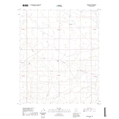
2023 Map of Antelope Sink
USGS Topo · Published 2023About this map
Antelope Sink characterizes this portion of Eddy County, where the high desert landscape is defined by its vital water management and ranching operations. The area is marked by a network of established homesteads and outposts, including Parish Ranch, Box Canyon Ranch, and Foster Ranch, which rely on a series of specialized catchments like Rock Tank, Hilt Tank, and Big Tank. These features reflect the historic reliance on seasonal rainfall and intermittent drainages in the Pecos River basin.
Find a feature on this map
29 named features on this map. Tap any name to fly to it.
Don’t see what you’re looking for? This feature index may not catch every label — zoom into the map to look around manually.
Map Details
Editions of this 2023 Antelope Sink Map
This is the sole edition of this map. No revisions or reprints were ever made.
Other maps of this area

1954 · Carlsbad
USGS Topo · 1:250,000

1955 · Hope
USGS Topo · 1:24,000

1956 · Hope
USGS Topo · 1:24,000

1956 · Parish Ranch
USGS Topo · 1:24,000

1956 · Antelope Sink
USGS Topo · 1:24,000

1956 · Hope SE
USGS Topo · 1:24,000

1957 · Foster Ranch
USGS Topo · 1:24,000

1957 · Box Canyon Ranch
USGS Topo · 1:24,000

1958 · Carlsbad
USGS Topo · 1:250,000

1960 · Teel Ranch
USGS Topo · 1:62,500