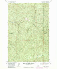
1969 Map of Anthony Peak
USGS Topo · Published 1984About this map
Anthony Peak serves as a prominent high point in this remote section of the St Joe National Forest, where the terrain is defined by the headwaters of several major drainages. The 1969 field survey, later updated in the early 1980s, reveals a landscape primarily accessed by a network of Pack Trails and Jeep Trails, underscoring the area's isolation and reliance on forest management infrastructure. A Lookout Tower stands atop the peak, overlooking the deep valleys carved by the St Maries River and its numerous tributaries like Cat Spur Creek and Filter Creek.
Find a feature on this map
32 named features on this map. Tap any name to fly to it.
Don’t see what you’re looking for? This feature index may not catch every label — zoom into the map to look around manually.
Map Details
Editions of this 1969 Anthony Peak Map
2 editions found
Other maps of this area

1955 · Pullman
USGS Topo · 1:250,000

1955 · Spokane
USGS Topo · 1:250,000

1958 · Spokane
USGS Topo · 1:250,000

1958 · Pullman
USGS Topo · 1:250,000

1961 · Fernwood
USGS Topo · 1:62,500

1961 · Bovill
USGS Topo · 1:62,500

1969 · Elk River
USGS Topo · 1:24,000
1969 · Elk Butte
USGS Topo · 1:24,000

1969 · Anthony Peak
USGS Topo · 1:24,000

1969 · Grandmother Mtn
USGS Topo · 1:24,000