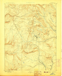
1893 Map of Anthracite
USGS Topo · Published 1907About this map
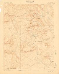
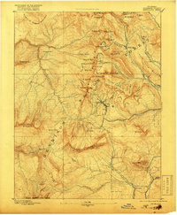
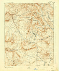
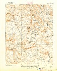
Irwin and Ruby sit at the center of this mountain landscape, marking a period of intense high-altitude activity in the West Elk Range. The map illustrates the industrial reach of the Denver South Park and Pacific Railroad, which extends northward along Ohio Creek toward Baldwin and Mt Carbon P.O.. This late-nineteenth-century survey captures the region's topographical complexity, from the serrated heights of the Ruby Range to the coal-bearing prominence of Anthracite Mesa. Transport routes like the White River Trail navigate the steep drainages of Anthracite Creek and Dark Cañon, while mining-era settlements such as Pittsburg and Elkton are positioned near the glacial basins and peaks like Augusta Mt and Purple Peak. The drainage patterns of the Slate River and its numerous gulches reflect the challenging terrain that early surveyors and prospectors encountered.
Find a feature on this map
69 named features on this map. Tap any name to fly to it.
Don’t see what you’re looking for? This feature index may not catch every label — zoom into the map to look around manually.
Map Details
Editions of this 1893 Anthracite Map
9 editions found
Other maps of this area

1888 · Crested Butte
USGS Topo · 1:62,500

1888 · Anthracite
USGS Topo · 1:62,500

1889 · Crested Butte
USGS Topo · 1:62,500

1889 · Anthracite
USGS Topo · 1:62,500

1893 · Anthracite
USGS Topo · 1:62,500

1893 · Crested Butte
USGS Topo · 1:62,500

1893 · Aspen
USGS Topo · 1:62,500

1894 · Anthracite
USGS Topo · 1:62,500

1895 · Aspen
USGS Topo · 1:62,500

1909 · Mount Jackson
USGS Topo · 1:125,000