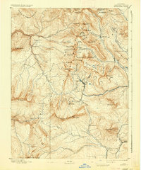
1893 Map of Anthracite
USGS Topo · Published 1937About this map
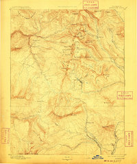
High-altitude mining camps and steep drainages define the landscape of the Elk Mountains in this late 19th-century survey. The terrain is centered on the production of coal and silver, as evidenced by the namesake Anthracite Creek and the Kubler Mine near Mt Carbon. Settlement patterns are dictated by the narrow valley floors and mountain passes, with small outposts like Ruby and Floresta established to support the local extraction economy. The map details a complex network of basins and peaks, including Gothic Mt and Purple Peak, which served as critical landmarks for prospectors and surveyors alike.
Find a feature on this map
70 named features on this map. Tap any name to fly to it.
Don’t see what you’re looking for? This feature index may not catch every label — zoom into the map to look around manually.
Map Details
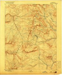
Editions of this 1893 Anthracite Map
9 editions found
Other maps of this area

1888 · Crested Butte
USGS Topo · 1:62,500

1888 · Anthracite
USGS Topo · 1:62,500

1889 · Crested Butte
USGS Topo · 1:62,500

1889 · Anthracite
USGS Topo · 1:62,500

1893 · Anthracite
USGS Topo · 1:62,500

1893 · Crested Butte
USGS Topo · 1:62,500

1893 · Aspen
USGS Topo · 1:62,500

1894 · Anthracite
USGS Topo · 1:62,500

1895 · Aspen
USGS Topo · 1:62,500

1909 · Mount Jackson
USGS Topo · 1:125,000