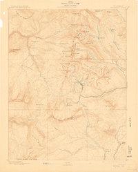
1893 Map of Anthracite
USGS Topo · Published 1912About this map
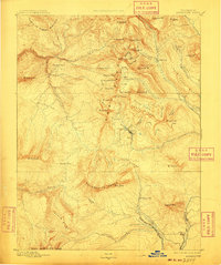
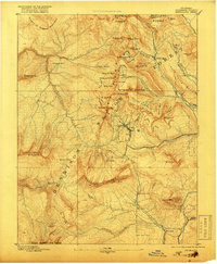
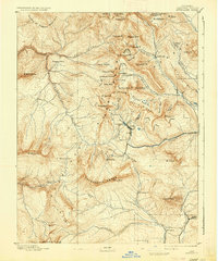
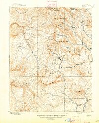
Mining settlements and high-altitude basins dominate this early survey of the West Elk Mountains, conducted during the region's late-19th-century silver and coal boom. Irwin and Ruby sit at the heart of the district, positioned near Lake Brennan and the dramatic Scarp Ridge. The map documents the critical early infrastructure of the Gunnison country, from the White River Trail to the remote mining outpost at Floresta.
Find a feature on this map
71 named features on this map. Tap any name to fly to it.
Don’t see what you’re looking for? This feature index may not catch every label — zoom into the map to look around manually.
Map Details
Editions of this 1893 Anthracite Map
9 editions found
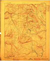
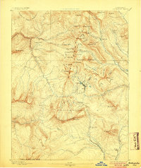
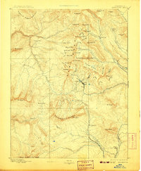
Other maps of this area

1888 · Crested Butte
USGS Topo · 1:62,500

1888 · Anthracite
USGS Topo · 1:62,500

1889 · Crested Butte
USGS Topo · 1:62,500

1889 · Anthracite
USGS Topo · 1:62,500

1893 · Anthracite
USGS Topo · 1:62,500

1893 · Crested Butte
USGS Topo · 1:62,500

1893 · Aspen
USGS Topo · 1:62,500

1894 · Anthracite
USGS Topo · 1:62,500

1895 · Aspen
USGS Topo · 1:62,500

1909 · Mount Jackson
USGS Topo · 1:125,000