
1893 Map of Anthracite
USGS Topo · Published 1893About this map
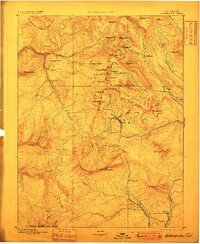
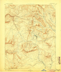
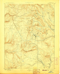
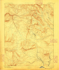
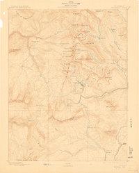
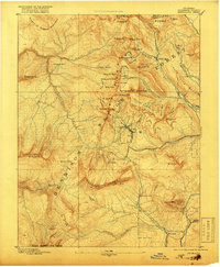
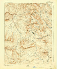
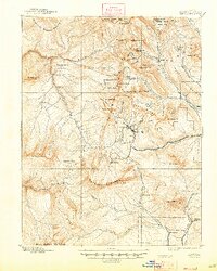
Mining activity and high-altitude settlements dominate this 1890s survey of the Elk Mountains, where the towns of Irwin and Ruby sit perched at nearly 10,000 feet. The region's industrial foundations are clear, with the Denver South Park and Pacific Railroad reaching the coal mining community of Baldwin in the southeast, while the northern slopes are punctuated by camps like Pittsburgh and Elkton. The landscape is a network of named basins and gulches, such as Oh-be-joyful Gulch and Poverty Gulch, which reflect the hopes and hardships of early prospectors. Significant peaks like Gothic Mt and Mt Emmons tower over the Anthracite Mesa, defining a terrain where travel was dictated by high-mountain passes including Daisy Pass and Ohio Pass. The presence of the White River Trail indicates the established routes used to navigate this complex topography before modern infrastructure arrived.
Find a feature on this map
70 named features on this map. Tap any name to fly to it.
Don’t see what you’re looking for? This feature index may not catch every label — zoom into the map to look around manually.
Map Details
Editions of this 1893 Anthracite Map
9 editions found
Other maps of this area

1888 · Crested Butte
USGS Topo · 1:62,500

1888 · Anthracite
USGS Topo · 1:62,500

1889 · Crested Butte
USGS Topo · 1:62,500

1889 · Anthracite
USGS Topo · 1:62,500

1893 · Crested Butte
USGS Topo · 1:62,500

1893 · Aspen
USGS Topo · 1:62,500

1894 · Anthracite
USGS Topo · 1:62,500

1895 · Aspen
USGS Topo · 1:62,500

1909 · Mount Jackson
USGS Topo · 1:125,000

1911 · Mount Jackson
USGS Topo · 1:125,000