
1944 Map of Antioch
USGS Topo · Published 1944About this map
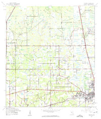
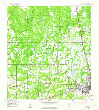
Plant City sits at the nexus of Florida's citrus and rail economy in the early 1940s, serving as a significant junction for the Atlantic Coast Line and Seaboard Air Line railroads. The landscape north of the city is a complex network of wetlands and agricultural precincts, where the Cork Prairie and Sweats Millpond interrupt the dense scatter of orchards and woodland. Small rural communities like Antioch and Knights are anchored by local institutions such as the Antioch Sch and Cork Academy, reflecting a period of decentralized community life before modern suburbanization. Transportation is defined by historically named routes including the Fort King Hwy and the Brick Road, while drainage features like Pemberton Creek and Turkey Creek trace the natural hydrology of the central Florida interior.
Find a feature on this map
50 named features on this map. Tap any name to fly to it.
Don’t see what you’re looking for? This feature index may not catch every label — zoom into the map to look around manually.
Map Details
Editions of this 1944 Antioch Map
3 editions found
Other maps of this area

1921 · Tampa
USGS Topo · 1:62,500

1943 · Thonotosassa
USGS Topo · 1:24,000

1944 · Plant City
USGS Topo · 1:31,680

1944 · Mango
USGS Topo · 1:31,680

1944 · Wesley Chapel
USGS Topo · 1:31,680

1944 · Thonotosassa
USGS Topo · 1:31,680

1944 · Socrum
USGS Topo · 1:31,680

1947 · Zephyrhills
USGS Topo · 1:24,000

1955 · Nichols
USGS Topo · 1:24,000

1955 · Dover
USGS Topo · 1:24,000