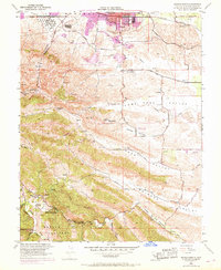
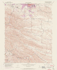
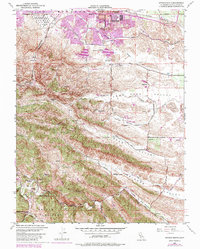
1953 Map of Antioch South
USGS Topo · Published 1969About this map
Coal Mine Tunnels and early industrial remains dot the landscape south of Antioch in this mid-century survey. The transition from industrial mining to recreation and residential growth is evident, as the northern edge shows urban expansion while the southern canyons preserve historical markers of the region's coal-producing past. Notable sites include the former settlements of Somersville and Stewartville, alongside the Morgan Territory Sch (Aban'd) and the County Jail Farm.
Find a feature on this map
47 named features on this map. Tap any name to fly to it.
Don’t see what you’re looking for? This feature index may not catch every label — zoom into the map to look around manually.
Map Details
Editions of this 1953 Antioch South Map
9 editions found
Other maps of this area

1896 · Mt. Diablo
USGS Topo · 1:62,500

1898 · Mt. Diablo
USGS Topo · 1:62,500

1907 · Antioch
USGS Topo · 1:62,500

1908 · Antioch
USGS Topo · 1:62,500

1910 · Jersey
USGS Topo · 1:31,680

1911 · Byron Hot Springs
USGS Topo · 1:31,680

1914 · Brentwood
USGS Topo · 1:31,680

1916 · Lone Tree Valley
USGS Topo · 1:31,680

1916 · Byron Hot Springs
USGS Topo · 1:31,680

1916 · Byron
USGS Topo · 1:62,500