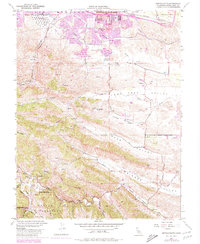
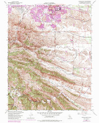
1953 Map of Antioch South
USGS Topo · Published 1980About this map
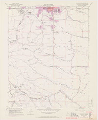
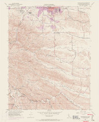
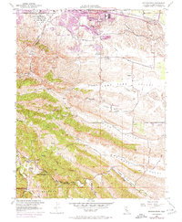
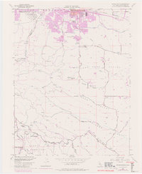
Coal Mine Tunnels and historical mining sites anchor this landscape south of the growing city, revealing the industrial roots of Contra Costa County. Significant former settlements are mapped as sites, including Somersville, Stewartville, and West Hartley, which once served the region's extraction economy. The terrain transitions from the developed northern corridor along the Southern Pacific tracks to the deep valleys and ridges of the south. Critical water infrastructure, notably the Mokelumne River Aqueduct and Contra Costa Canal, cuts across the hills to supply the thirsty San Francisco Bay area. To the south, the map preserves the rural character of Morgan Territory, showing the Morgan Territory Sch (Site) and the sprawling County Jail Farm along the banks of Marsh Creek. Local transit and land use are defined by historic routes like Empire Mine Road and the recreation areas at Contra Loma Regional Park.
Find a feature on this map
50 named features on this map. Tap any name to fly to it.
Don’t see what you’re looking for? This feature index may not catch every label — zoom into the map to look around manually.
Map Details
Editions of this 1953 Antioch South Map
9 editions found
Other maps of this area

1896 · Mt. Diablo
USGS Topo · 1:62,500

1898 · Mt. Diablo
USGS Topo · 1:62,500

1907 · Antioch
USGS Topo · 1:62,500

1908 · Antioch
USGS Topo · 1:62,500

1910 · Jersey
USGS Topo · 1:31,680

1911 · Byron Hot Springs
USGS Topo · 1:31,680

1914 · Brentwood
USGS Topo · 1:31,680

1916 · Lone Tree Valley
USGS Topo · 1:31,680

1916 · Byron Hot Springs
USGS Topo · 1:31,680

1916 · Byron
USGS Topo · 1:62,500