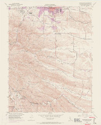
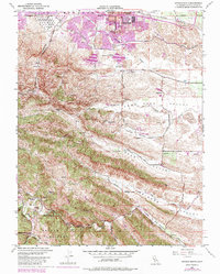
1953 Map of Antioch South
USGS Topo · Published 1969About this map
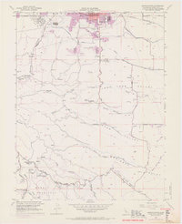
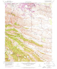
The northern edge of Antioch gives way to the complex industrial and residential landscape of central Contra Costa County in this mid-century survey. Notable for its documentation of early mining history, the map identifies several historic settlement sites including Somersville, Nortonville, and Stewartville, alongside former extraction points like the Coal Mine Tunnels near West Hartley. These sites sit nestled in the folds of Somerville Canyon and Markley Canyon, reflecting the era's transition from 19th-century resource extraction to a more modern infrastructure.
Find a feature on this map
53 named features on this map. Tap any name to fly to it.
Don’t see what you’re looking for? This feature index may not catch every label — zoom into the map to look around manually.
Map Details
Editions of this 1953 Antioch South Map
9 editions found
Other maps of this area

1896 · Mt. Diablo
USGS Topo · 1:62,500

1898 · Mt. Diablo
USGS Topo · 1:62,500

1907 · Antioch
USGS Topo · 1:62,500

1908 · Antioch
USGS Topo · 1:62,500

1910 · Jersey
USGS Topo · 1:31,680

1911 · Byron Hot Springs
USGS Topo · 1:31,680

1914 · Brentwood
USGS Topo · 1:31,680

1916 · Lone Tree Valley
USGS Topo · 1:31,680

1916 · Byron Hot Springs
USGS Topo · 1:31,680

1916 · Byron
USGS Topo · 1:62,500