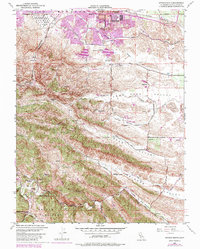
1953 Map of Antioch South
USGS Topo · Published 1984About this map
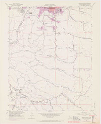
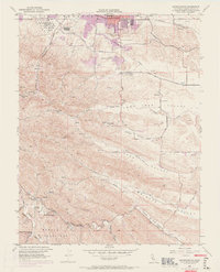
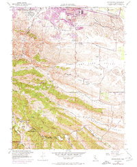
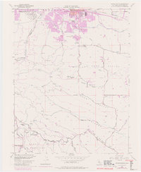
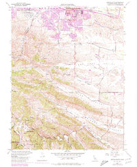
Somersville and Nortonville sit at the northern edge of the hills, marking the historical industrial activity of the Mount Diablo coalfields. This 1953 survey, updated in 1980, shows a landscape transitioning from resource extraction to managed regional spaces like Contra Loma Regional Park. Evidence of the area's subterranean history is visible through Coal Mine Tunnels near West Hartley, while the valley floors are defined by significant water infrastructure including the Contra Costa Canal and the Mokelumne Aqueduct. Further south, the rural character of Morgan Territory is preserved, anchored by the Morgan Territory Sch. The northern edge displays the urban expansion of Antioch, including the Antioch HS and the Antioch Municipal Reservoir, contrasting with the rugged canyons and valleys like Horse Valley and Briones Valley that dominate the central terrain.
Find a feature on this map
40 named features on this map. Tap any name to fly to it.
Don’t see what you’re looking for? This feature index may not catch every label — zoom into the map to look around manually.
Map Details
Editions of this 1953 Antioch South Map
9 editions found
Other maps of this area

1896 · Mt. Diablo
USGS Topo · 1:62,500

1898 · Mt. Diablo
USGS Topo · 1:62,500

1907 · Antioch
USGS Topo · 1:62,500

1908 · Antioch
USGS Topo · 1:62,500

1910 · Jersey
USGS Topo · 1:31,680

1911 · Byron Hot Springs
USGS Topo · 1:31,680

1914 · Brentwood
USGS Topo · 1:31,680

1916 · Lone Tree Valley
USGS Topo · 1:31,680

1916 · Byron Hot Springs
USGS Topo · 1:31,680

1916 · Byron
USGS Topo · 1:62,500