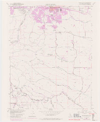
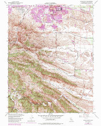
1953 Map of Antioch South
USGS Topo · Published 1980About this map
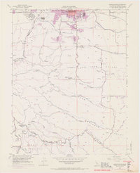
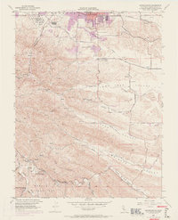
Coal Mine Tunnels and ghost settlements mark the transition from industrial extraction to water management in the foothills of Contra Costa County. This mid-century survey, with later revisions, documents the traces of the Mount Diablo coal field, including the sites of Somersville, Stewartville, and West Hartley. The landscape is etched with historical infrastructure, from the Southern Pacific tracks in the north to the Mokelumne River Aqueduct and Contra Costa Canal cutting through the terrain. In the south, the Morgan Territory and the Mt Diablo Base Line provide critical landmarks for genealogists and surveyors alike. The presence of the Morgan Territory Sch (Aban'd) and Marsh Creek Springs speaks to the early rural communities that once flourished along the canyon floors of Oil Canyon and Irish Canyon.
Find a feature on this map
48 named features on this map. Tap any name to fly to it.
Don’t see what you’re looking for? This feature index may not catch every label — zoom into the map to look around manually.
Map Details
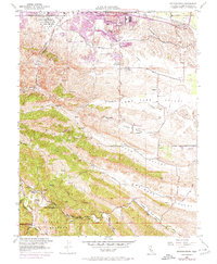
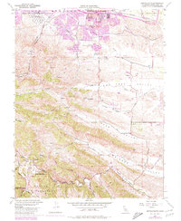
Editions of this 1953 Antioch South Map
9 editions found
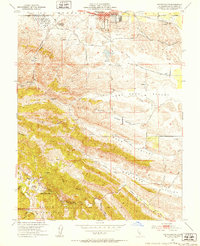
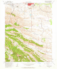
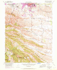
Other maps of this area

1896 · Mt. Diablo
USGS Topo · 1:62,500

1898 · Mt. Diablo
USGS Topo · 1:62,500

1907 · Antioch
USGS Topo · 1:62,500

1908 · Antioch
USGS Topo · 1:62,500

1910 · Jersey
USGS Topo · 1:31,680

1911 · Byron Hot Springs
USGS Topo · 1:31,680

1914 · Brentwood
USGS Topo · 1:31,680

1916 · Lone Tree Valley
USGS Topo · 1:31,680

1916 · Byron Hot Springs
USGS Topo · 1:31,680

1916 · Byron
USGS Topo · 1:62,500