
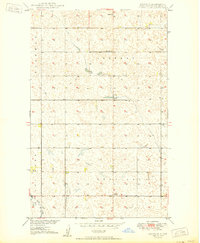
1950 Map of Antler NW
USGS Topo · Published 1950About this map
The Canada-United States border defines the northern edge of this North Dakota landscape, where the rural townships of Wheaton, Eden, Hurley, and Hoffman meet. Surveyed just after the war, the map reveals a prairie landscape meticulously organized by the Public Land Survey System, where local life centered around the Haas Ch and the Fairview Sch No 1. The drainage patterns of Bank Creek wind through the southern sections of the quadrangle, punctuated by scattered Gravel Pit operations that hint at the local geology. This era represents a period of established agricultural settlement in Bottineau County and Renville County, documenting the precise location of homesteads and section lines as they existed in the mid-20th century.
Find a feature on this map
11 named features on this map. Tap any name to fly to it.
Don’t see what you’re looking for? This feature index may not catch every label — zoom into the map to look around manually.
Map Details
Editions of this 1950 Antler NW Map
This is the sole edition of this map. No revisions or reprints were ever made.
Other maps of this area

1948 · Dokken SW
USGS Topo · 1:24,000

1948 · Mohall
USGS Topo · 1:24,000

1949 · Mohall NE
USGS Topo · 1:24,000

1950 · Mohall
USGS Topo · 1:62,500

1950 · Antler
USGS Topo · 1:24,000
1950 · Renville
USGS Topo · 1:24,000

1954 · Minot
USGS Topo · 1:250,000

1958 · Minot
USGS Topo · 1:250,000
2011 · Renville
USGS Topo · 1:24,000
2011 · Antler SW
USGS Topo · 1:24,000