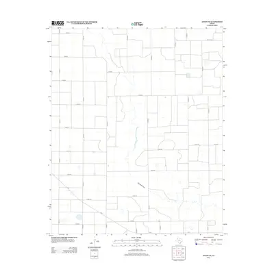
2012 Map of Anton NE
USGS Topo · Published 2012About this map
Blackwater Draw meanders through this portion of Hale County, creating a distinct natural break in the otherwise orderly agricultural grid of the Texas High Plains. The landscape is defined by a rigorous network of section-line roads, including Co Rd-B, Co Rd-C, and Co Rd-317, which facilitate the region's intensive farming operations. Local thoroughfares such as Amigo Rd and Corral Rd connect scattered farmsteads to larger arteries like Fm-54 and Ranch Road 37. This 2012 survey illustrates the modern irrigation and land management patterns common to the Llano Estacado, where the hydrological influence of Blackwater Draw has historically dictated the movement and settlement of the region.
Find a feature on this map
27 named features on this map. Tap any name to fly to it.
Don’t see what you’re looking for? This feature index may not catch every label — zoom into the map to look around manually.
Map Details
Editions of this 2012 Anton NE Map
This is the sole edition of this map. No revisions or reprints were ever made.
Other maps of this area

1954 · Lubbock
USGS Topo · 1:250,000

1954 · Plainview
USGS Topo · 1:250,000

1954 · Clovis
USGS Topo · 1:250,000

1954 · Brownfield
USGS Topo · 1:250,000

1957 · Anton
USGS Topo · 1:62,500

1957 · Abernathy
USGS Topo · 1:62,500

1958 · Brownfield
USGS Topo · 1:250,000

1958 · Clovis
USGS Topo · 1:250,000

1958 · Plainview
USGS Topo · 1:250,000

1962 · Brownfield
USGS Topo · 1:250,000