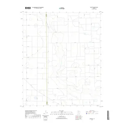
2019 Map of Anton NE
USGS Topo · Published 2019About this map
Blackwater Draw winds through this section of the High Plains, defining the local topography along the border of Hale and Lamb counties. The landscape is structured by a precise grid of rural routes, including Co Rd A and Co Rd B, reflecting the region's agricultural layout in the late 2010s. This survey illustrates the relationship between the natural drainage of the draw and the human-imposed geometry of the West Texas cotton and grain fields. Strategic local connectors like Fm 54 and Fm 37 provide the primary transit links through this sparsely populated agricultural area, where land use is marked by numerous small depressions and basins common to the Llano Estacado. Researchers can trace the exact placement of local corridors such as Amigo Rd and Corral Rd as they navigate the flat, productive terrain between established regional hubs.
Find a feature on this map
29 named features on this map. Tap any name to fly to it.
Don’t see what you’re looking for? This feature index may not catch every label — zoom into the map to look around manually.
Map Details
Editions of this 2019 Anton NE Map
This is the sole edition of this map. No revisions or reprints were ever made.
Other maps of this area

1954 · Lubbock
USGS Topo · 1:250,000

1954 · Plainview
USGS Topo · 1:250,000

1954 · Clovis
USGS Topo · 1:250,000

1954 · Brownfield
USGS Topo · 1:250,000

1957 · Anton
USGS Topo · 1:62,500

1957 · Abernathy
USGS Topo · 1:62,500

1958 · Brownfield
USGS Topo · 1:250,000

1958 · Clovis
USGS Topo · 1:250,000

1958 · Plainview
USGS Topo · 1:250,000

1962 · Brownfield
USGS Topo · 1:250,000