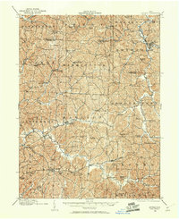
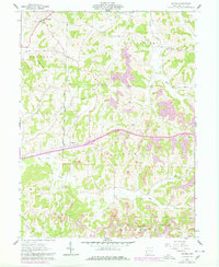
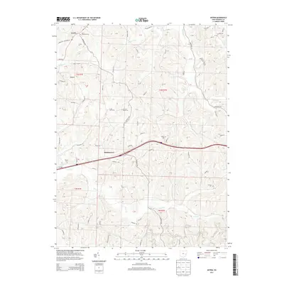
1909 Map of Antrim
USGS Topo · Published 1960About this map
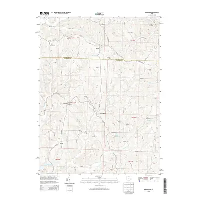
Antrim and Londonderry serve as the primary hubs in this early twentieth-century survey of eastern Ohio, where the landscape is defined by the winding drainages of the Salt Fork and its numerous tributaries. The map documents a dense network of nineteenth-century infrastructure, including the historic Military Road and National Road, which provided vital overland passage through the dissected hills of Guernsey and Tuscarawas counties. Local life centers on rural institutions, evidenced by the numerous district schools like Sligo School and Kuzans School, alongside spiritual landmarks such as Pisgah Church and Allen Chapel.
Find a feature on this map
86 named features on this map. Tap any name to fly to it.
Don’t see what you’re looking for? This feature index may not catch every label — zoom into the map to look around manually.
Map Details
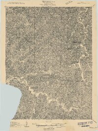
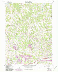
Editions of this 1909 Antrim Map
2 editions found
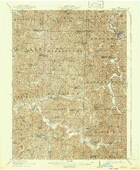
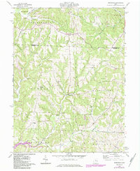
Historical Maps of Londonderry Through Time
26 maps found
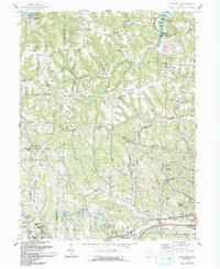
1909 Antrim
Guernsey County, OH
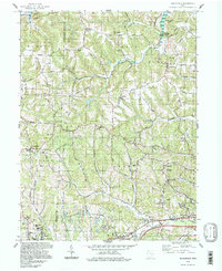
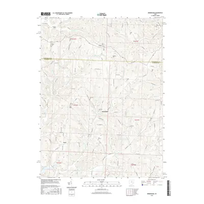
1911 Antrim
Guernsey County, OH
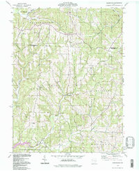
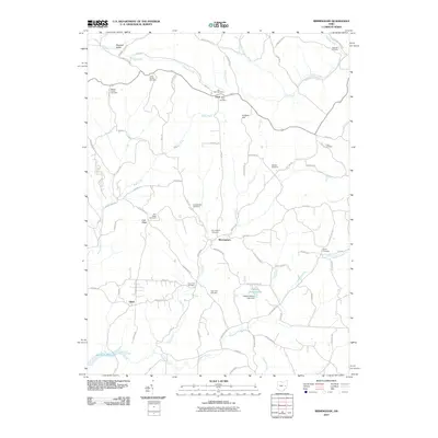
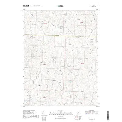
1961 Birmingham
Guernsey County, OH
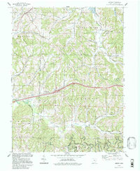
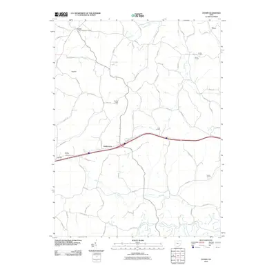
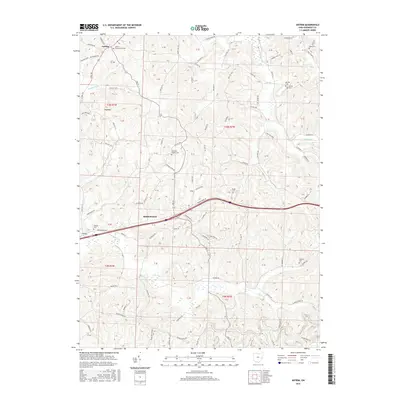
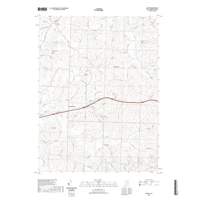
1962 Antrim
Guernsey County, OH
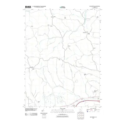
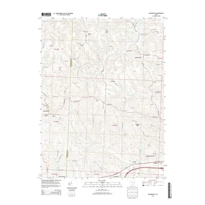
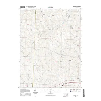
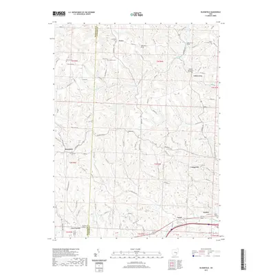
1962 Bloomfield
Guernsey County, OH
1963 Birmingham
Guernsey County, OH
1993 Antrim
Guernsey County, OH
1993 Bloomfield
Guernsey County, OH
1994 Antrim
Guernsey County, OH
1994 Birmingham
Guernsey County, OH
1994 Bloomfield
Guernsey County, OH
2010 Antrim
Guernsey County, OH
2010 Birmingham
Guernsey County, OH
2010 Bloomfield
Guernsey County, OH
2013 Antrim
Guernsey County, OH
2013 Birmingham
Guernsey County, OH
2013 Bloomfield
Guernsey County, OH
2016 Antrim
Guernsey County, OH
2016 Birmingham
Guernsey County, OH
2016 Bloomfield
Guernsey County, OH
2019 Antrim
Guernsey County, OH
2019 Birmingham
Guernsey County, OH
2019 Bloomfield
Guernsey County, OH

2023 Antrim
Guernsey County, OH
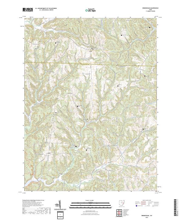
2023 Birmingham
Guernsey County, OH
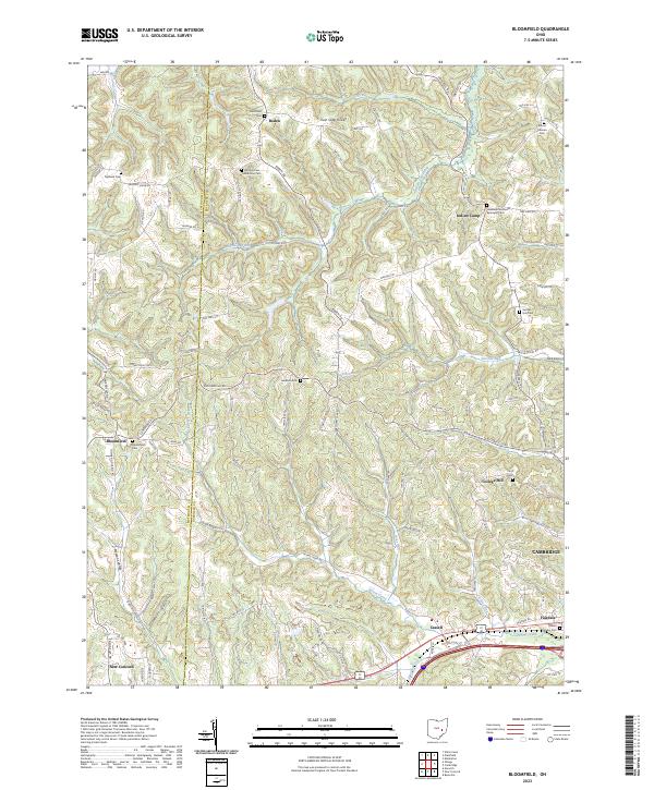
2023 Bloomfield
Guernsey County, OH