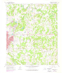
1964 Map of Ardmore East
USGS Topo · Published 1978About this map
The eastern edge of Ardmore serves as a hub of activity on this survey, where the urban street grid gives way to the industrial and agricultural landscapes of southern Oklahoma. The transportation network is defined by the Atchison Topeka and Santa Fe and the St Louis-San Francisco railroads, which once supported the local economy. Just outside the city, the Downtown Ardmore Airport and the Sewage Disposal plant mark the transition into the township boundaries of Morgan and Wilson.
Find a feature on this map
39 named features on this map. Tap any name to fly to it.
Don’t see what you’re looking for? This feature index may not catch every label — zoom into the map to look around manually.
Map Details
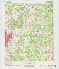
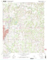
Editions of this 1964 Ardmore East Map
4 editions found
Other maps of this area

1901 · Tishomingo
USGS Topo · 1:125,000

1901 · Ardmore
USGS Topo · 1:125,000

1918 · Ardmore
USGS Topo · 1:125,000

1957 · Ardmore
USGS Topo · 1:250,000

1963 · Ardmore
USGS Topo · 1:250,000

1963 · Mannsville
USGS Topo · 1:24,000

1963 · Mc Millan
USGS Topo · 1:24,000

1963 · Nebo
USGS Topo · 1:24,000

1964 · Lake Murray
USGS Topo · 1:24,000

1964 · Ardmore East
USGS Topo · 1:24,000