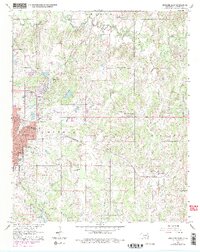
1964 Map of Ardmore East
USGS Topo · Published 1978About this map
The growing eastern neighborhoods of Ardmore meet the rural expanses of Carter County in this mid-1960s survey, updated with late-1970s land-use revisions. The landscape is defined by the convergence of major rail corridors, including the Atchison Topeka and Santa Fe and the St Louis - San Francisco lines, which supported the regional economy. Beyond the city grid, the terrain transitions into a network of small family-centered settlements and educational landmarks like Mt Washington Sch and Springdale Sch. To the south, the northern reaches of Lake Murray State Park and the waters of Lake Murray provide a natural boundary, while the village of Provence stands as a distinct community center. Local history is deeply etched into the land through sites such as Pruitt Cem, Niblack Chapel, and several gravel operations concentrated near Caddo Creek and Dripping Springs.
Find a feature on this map
38 named features on this map. Tap any name to fly to it.
Don’t see what you’re looking for? This feature index may not catch every label — zoom into the map to look around manually.
Map Details
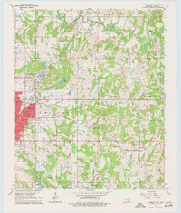
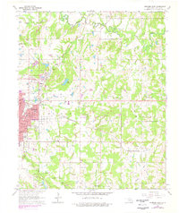
Editions of this 1964 Ardmore East Map
4 editions found
Other maps of this area

1901 · Tishomingo
USGS Topo · 1:125,000

1901 · Ardmore
USGS Topo · 1:125,000

1918 · Ardmore
USGS Topo · 1:125,000

1957 · Ardmore
USGS Topo · 1:250,000

1963 · Ardmore
USGS Topo · 1:250,000

1963 · Mannsville
USGS Topo · 1:24,000

1963 · Mc Millan
USGS Topo · 1:24,000

1963 · Nebo
USGS Topo · 1:24,000

1964 · Lake Murray
USGS Topo · 1:24,000

1964 · Ardmore East
USGS Topo · 1:24,000