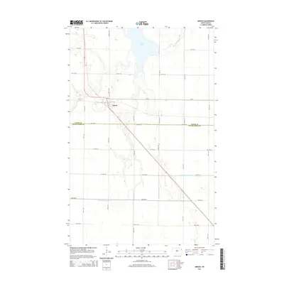
2014 Map of Ardoch
USGS Topo · Published 2014About this map
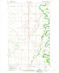
The small town of Ardoch is the primary settlement on this agricultural landscape, situated along a prominent north-south rail line that cuts diagonally through the section. This region of the Red River Valley shows a highly structured grid of section lines, including 36th Ave NE, which defines the border between Walsh and Grand Forks Counties. The local hydrology is dominated by the Forest River and the sprawling Lake Ardoch, which are supported by an extensive network of man-made drainage systems like County Ditch Number 13 and County Ditch Number 19. These features illustrate the intensive land management required to sustain farming in this flat, fertile terrain. Within the village itself, local naming persists on short thoroughfares such as Wall St, providing a focused view of the town's compact footprint amidst the surrounding fields.
Find a feature on this map
28 named features on this map. Tap any name to fly to it.
Don’t see what you’re looking for? This feature index may not catch every label — zoom into the map to look around manually.
Map Details
Editions of this 2014 Ardoch Map
This is the sole edition of this map. No revisions or reprints were ever made.
Other maps of this area

1918 · Acton
USGS Topo · 1:62,500

1926 · Ardoch
USGS Topo · 1:62,500

1943 · Grafton
USGS Topo · 1:62,500

1952 · Thief River Falls
USGS Topo · 1:250,000

1956 · Thief River Falls
USGS Topo · 1:250,000

1957 · Thief River Falls
USGS Topo · 1:250,000
1963 · Forest River
USGS Topo · 1:24,000
1963 · Gilby
USGS Topo · 1:24,000
1966 · Oslo
USGS Topo · 1:24,000
1966 · Big Woods SW
USGS Topo · 1:24,000