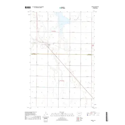
2017 Map of Ardoch
USGS Topo · Published 2017About this map
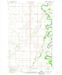
The Ardoch settlement occupies a central position in this Red River Valley landscape, situated along the diagonal route of a major regional highway. This 2017 survey reveals the intricate water management system essential to the area's agricultural identity, characterized by the expansive Lake Ardoch and the meandering path of the Forest River. Engineered drainage features, such as County Ditch Number 10 and County Ditch Number 13, underscore the transformation of this prairie land into a highly productive farming corridor. The geography is further defined by the significant political boundary of the Walsh Co Grand Forks Co line, which bisects the southern half of the map. Local street-level detail in the village is anchored by Bates St, while the surrounding grid of county roads, including Co Hwy 19, facilitates the transport network connecting these northern North Dakota townships.
Find a feature on this map
36 named features on this map. Tap any name to fly to it.
Don’t see what you’re looking for? This feature index may not catch every label — zoom into the map to look around manually.
Map Details
Editions of this 2017 Ardoch Map
This is the sole edition of this map. No revisions or reprints were ever made.
Other maps of this area

1918 · Acton
USGS Topo · 1:62,500

1926 · Ardoch
USGS Topo · 1:62,500

1943 · Grafton
USGS Topo · 1:62,500

1952 · Thief River Falls
USGS Topo · 1:250,000

1956 · Thief River Falls
USGS Topo · 1:250,000

1957 · Thief River Falls
USGS Topo · 1:250,000
1963 · Forest River
USGS Topo · 1:24,000
1963 · Gilby
USGS Topo · 1:24,000
1966 · Oslo
USGS Topo · 1:24,000
1966 · Big Woods SW
USGS Topo · 1:24,000