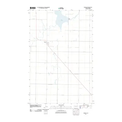
2024 Map of Ardoch
USGS Topo · Published 2024About this map
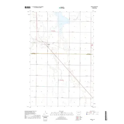
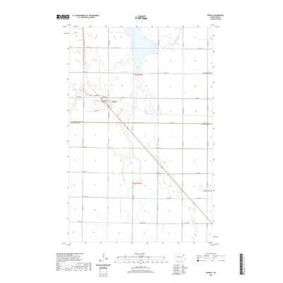
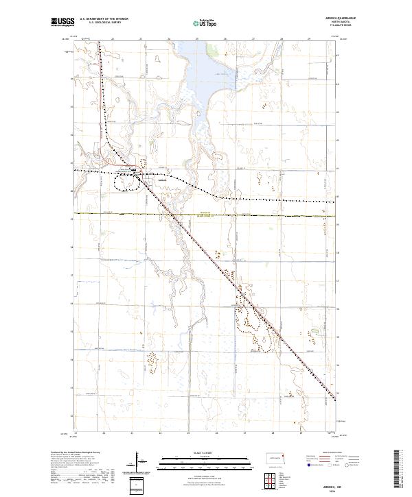
Ardoch serves as the central point of this modern survey, positioned just north of the Walsh Co Grand Forks Co line. The town's grid is anchored by Wall St and Bates St, with the nearby Saint John the Baptist Catholic Cem and Ardoch Cem providing significant reference points for local genealogical research. This landscape is defined by its extensive water management and conservation efforts, dominated by the Ardoch National Wildlife Refuge and the waters of Lake Ardoch. The Forest River winds through the northern sections, while the agricultural character of the region is evident in the man-made drainage network, including County Ditch Number 19 and County Ditch Number 13. The mapping reflects the persistent rural township and range structure that has governed this Red River Valley terrain for generations.
Find a feature on this map
38 named features on this map. Tap any name to fly to it.
Don’t see what you’re looking for? This feature index may not catch every label — zoom into the map to look around manually.
Map Details
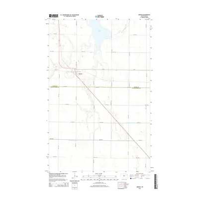
Editions of this 2024 Ardoch Map
This is the sole edition of this map. No revisions or reprints were ever made.
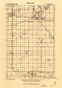
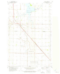
Historical Maps of Ardoch Through Time
7 maps found