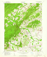
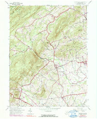
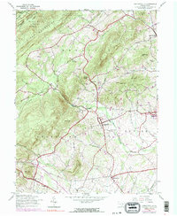
1944 Map of Arendtsville
USGS Topo · Published 1961About this map
The rolling orchard country and timbered ridges of Adams County define this mid-century landscape, dominated by the transition from the Michaux State Forest down into the productive agricultural valleys. Arendtsville serves as a central hub, surrounded by smaller agrarian communities such as Beechersville, Bridgeport, and Brysonia. The map records the local infrastructure of the era, including the Brysonia Sch and Skellys Sch, along with the Franklin Ch near the road to Cashtown.
Find a feature on this map
43 named features on this map. Tap any name to fly to it.
Don’t see what you’re looking for? This feature index may not catch every label — zoom into the map to look around manually.
Map Details
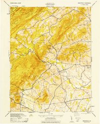
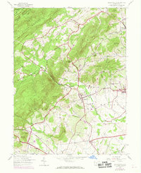
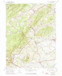
Editions of this 1944 Arendtsville Map
7 editions found
Other maps of this area

1904 · Carlisle
USGS Topo · 1:62,500

1908 · Gettysburg
USGS Topo · 1:62,500

1909 · Fairfield
USGS Topo · 1:62,500

1919 · Newville
USGS Topo · 1:62,500

1942 · Gettysburg
USGS Topo · 1:125,000

1943 · Carlisle
USGS Topo · 1:62,500

1944 · Gettysburg
USGS Topo · 1:31,680

1944 · Flat Ridge
USGS Topo · 1:31,680

1944 · Arendtsville
USGS Topo · 1:31,680
1944 · Fairfield
USGS Topo · 1:31,680
Featured Places
- Arendtsville, PA
- Southampton Township, PA
- Franklin Township, PA
- Cumberland Township, PA
- Brysonia, Menallen Township