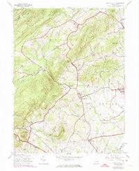
1944 Map of Arendtsville
USGS Topo · Published 1974About this map
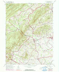
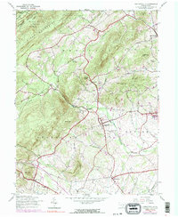
The Michaux State Forest covers the northwestern corner of this territory, where South Mountain and Bear Mountain overlook a landscape transitioning into fertile orchard country. Settled along the foothills of Adams County, communities like Arendtsville, Biglersville, and Bendersville are connected by a network of rural roads that skirt prominent terrain features like Wildcat Knob and Yellow Hill. The drainage patterns of Conewago Creek and Marsh Creek define the agricultural valleys, while the passage known as The Narrows provides a natural corridor through the higher ridges.
Find a feature on this map
39 named features on this map. Tap any name to fly to it.
Don’t see what you’re looking for? This feature index may not catch every label — zoom into the map to look around manually.
Map Details
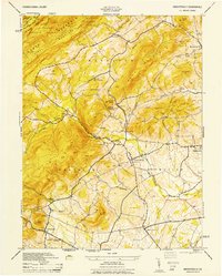
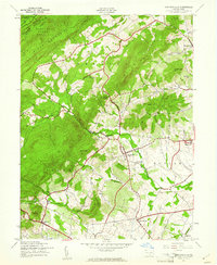
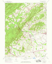
Editions of this 1944 Arendtsville Map
7 editions found
Other maps of this area

1904 · Carlisle
USGS Topo · 1:62,500

1908 · Gettysburg
USGS Topo · 1:62,500

1909 · Fairfield
USGS Topo · 1:62,500

1919 · Newville
USGS Topo · 1:62,500

1942 · Gettysburg
USGS Topo · 1:125,000

1943 · Carlisle
USGS Topo · 1:62,500

1944 · Gettysburg
USGS Topo · 1:31,680

1944 · Flat Ridge
USGS Topo · 1:31,680

1944 · Arendtsville
USGS Topo · 1:31,680
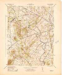
1944 · Fairfield
USGS Topo · 1:31,680
Featured Places
- Arendtsville, PA
- Southampton Township, PA
- Franklin Township, PA
- Cumberland Township, PA
- Brysonia, Menallen Township