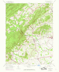
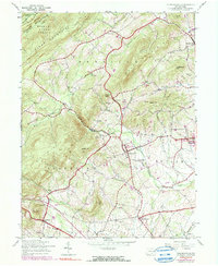
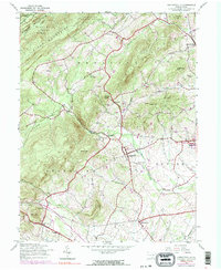
1944 Map of Arendtsville
USGS Topo · Published 1969About this map
Arendtsville and its surrounding orchard country are captured here at the end of the Second World War, with updates reflecting the late 1960s landscape. The terrain is defined by the transition from the high ridges of South Mountain and Michaux State Forest down into the productive agricultural valleys of Menallen and Butler townships. Small rural centers like Brysonia and Wenksville anchor the upland areas, while larger villages such as Bendersville and Cashtown serve the valley floors.
Find a feature on this map
42 named features on this map. Tap any name to fly to it.
Don’t see what you’re looking for? This feature index may not catch every label — zoom into the map to look around manually.
Map Details
Editions of this 1944 Arendtsville Map
7 editions found
Other maps of this area

1904 · Carlisle
USGS Topo · 1:62,500

1908 · Gettysburg
USGS Topo · 1:62,500

1909 · Fairfield
USGS Topo · 1:62,500

1919 · Newville
USGS Topo · 1:62,500

1942 · Gettysburg
USGS Topo · 1:125,000

1943 · Carlisle
USGS Topo · 1:62,500

1944 · Gettysburg
USGS Topo · 1:31,680

1944 · Flat Ridge
USGS Topo · 1:31,680

1944 · Arendtsville
USGS Topo · 1:31,680
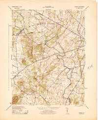
1944 · Fairfield
USGS Topo · 1:31,680
Featured Places
- Arendtsville, PA
- Southampton Township, PA
- Franklin Township, PA
- Cumberland Township, PA
- Brysonia, Menallen Township