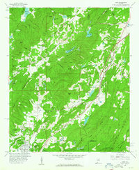
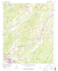
1959 Map of Argo
USGS Topo · Published 1960About this map
Red Mountain dominates the central landscape of this late-fifties survey, where the Jefferson and St. Clair county line cuts through a series of prominent ridges and valleys. The settlement of Argo sits along the Southern Railway, serving as a focal point for local commuters and farmers, while the southern edge shows the growth of Trussville near the Cahaba River. This era is defined by the heavy footprint of industry and recreation side-by-side, with Strip Mines and several Chert Pits peppering the terrain near family landmarks like Vann Valley and Happy Hollow.
Find a feature on this map
74 named features on this map. Tap any name to fly to it.
Don’t see what you’re looking for? This feature index may not catch every label — zoom into the map to look around manually.
Map Details
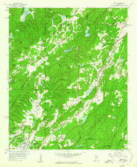
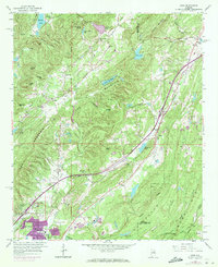
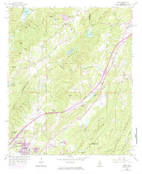
Editions of this 1959 Argo Map
5 editions found
Other maps of this area

1889 · Springville
USGS Topo · 1:125,000

1889 · Birmingham
USGS Topo · 1:125,000

1892 · Birmingham
USGS Topo · 1:125,000

1892 · Springville
USGS Topo · 1:125,000

1895 · Birmingham
USGS Topo · 1:125,000

1905 · Leeds
USGS Topo · 1:62,500

1907 · Birmingham
USGS Topo · 1:125,000

1907 · Leeds
USGS Topo · 1:62,500

1953 · Birmingham
USGS Topo · 1:250,000

1956 · Birmingham
USGS Topo · 1:250,000