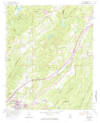
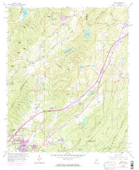
1959 Map of Argo
USGS Topo · Published 1985About this map
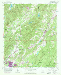
Red Mountain and the surrounding ridges of the southern Appalachians dominate the topography between Jefferson and St. Clair counties. The rural character of the mid-20th century is preserved in the network of country churches like Sunnyside Ch and Central Ch, alongside small settlements at Argo and Clay. Industrial activity is evident in the Strip Mines and Quarry sites south of Sand Mtn, while the rail corridor of the Southern Railway provides the primary infrastructure link through the valley. Natural landmarks such as McCluney Cave and recreation spots like Camp Crosby and Camp Munger suggest a landscape used for both resource extraction and community retreats. The map also records the hydrological divide where the Cahaba River and Vann River meet, and where newer suburban expansion in Trussville begins to appear in the 1970 revision tint.
Find a feature on this map
74 named features on this map. Tap any name to fly to it.
Don’t see what you’re looking for? This feature index may not catch every label — zoom into the map to look around manually.
Map Details
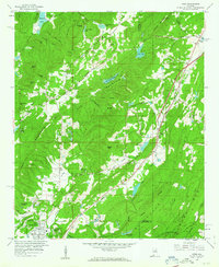
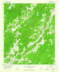
Editions of this 1959 Argo Map
5 editions found
Other maps of this area

1889 · Springville
USGS Topo · 1:125,000

1889 · Birmingham
USGS Topo · 1:125,000

1892 · Birmingham
USGS Topo · 1:125,000

1892 · Springville
USGS Topo · 1:125,000

1895 · Birmingham
USGS Topo · 1:125,000

1905 · Leeds
USGS Topo · 1:62,500

1907 · Birmingham
USGS Topo · 1:125,000

1907 · Leeds
USGS Topo · 1:62,500

1953 · Birmingham
USGS Topo · 1:250,000

1956 · Birmingham
USGS Topo · 1:250,000