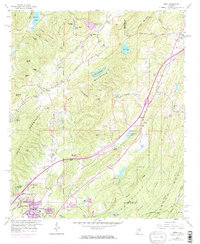
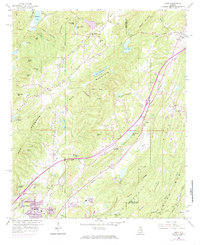
1959 Map of Argo
USGS Topo · Published 1985About this map
Red Mountain and the parallel ridges of Owens Mountain dominate this landscape northeast of Birmingham, where the Cahaba River winds through narrow valleys. The settlement of Argo sits at a geographic crossroads, defined by the path of the Southern railroad and the Argo Cemetery. To the southwest, the growth of Trussville is evident, while smaller communities like Clay and Zamora maintain a more rural character.
Find a feature on this map
74 named features on this map. Tap any name to fly to it.
Don’t see what you’re looking for? This feature index may not catch every label — zoom into the map to look around manually.
Map Details
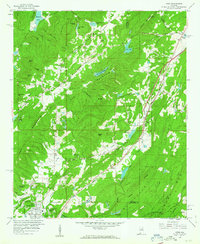
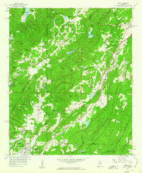
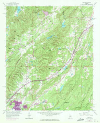
Editions of this 1959 Argo Map
5 editions found
Other maps of this area

1889 · Springville
USGS Topo · 1:125,000

1889 · Birmingham
USGS Topo · 1:125,000

1892 · Birmingham
USGS Topo · 1:125,000

1892 · Springville
USGS Topo · 1:125,000

1895 · Birmingham
USGS Topo · 1:125,000

1905 · Leeds
USGS Topo · 1:62,500

1907 · Birmingham
USGS Topo · 1:125,000

1907 · Leeds
USGS Topo · 1:62,500

1953 · Birmingham
USGS Topo · 1:250,000

1956 · Birmingham
USGS Topo · 1:250,000