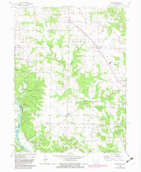
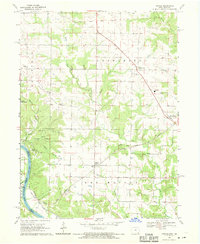
1968 Map of Argyle
USGS Topo · Published 1983About this map
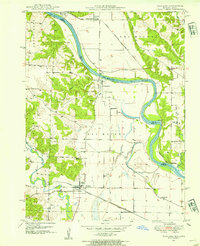
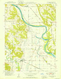
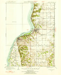
Shimek State Forest dominates the western landscape of this Lee County survey, where the rugged terrain of Ghost Hollow and Bryan Hill meets the flat expanses of String Prairie. The southern border is defined by the winding course of the Des Moines River, which separates Iowa from Missouri and Clark County. This map documents a critical transition in regional transportation, showing the active Atchison Topeka and Santa Fe line running parallel to the Old Atchison Topeka and Santa Fe Railroad Grade.
Find a feature on this map
36 named features on this map. Tap any name to fly to it.
Don’t see what you’re looking for? This feature index may not catch every label — zoom into the map to look around manually.
Map Details
Editions of this 1968 Argyle Map
2 editions found
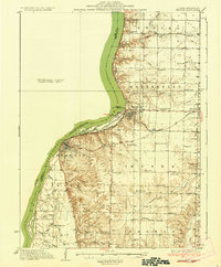
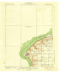
Other maps of this area

1903 · Kahoka
USGS Topo · 1:125,000
1936 · Keokuk
USGS Topo · 1:62,500
1936 · Fort Madison
USGS Topo · 1:62,500
1949 · Wayland
USGS Topo · 1:24,000
1949 · Kahoka
USGS Topo · 1:24,000
1950 · Kahoka
USGS Topo · 1:24,000
1950 · Wayland
USGS Topo · 1:24,000
1950 · Keokuk
USGS Topo · 1:62,500

1958 · Burlington
USGS Topo · 1:250,000

1961 · Burlington
USGS Topo · 1:250,000