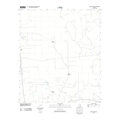
2010 Map of Arizona Creek
USGS Topo · Published 2010About this map
Ducat Settlement and Vanva Settlement anchor this landscape in Liberty County, Texas, where the terrain is defined by the dense vegetation of the Big Thicket Loblolly. The map reveals a complex drainage network where Arizona Creek winds through the center, eventually meeting the slow-moving waters of Pine Island Bayou and the swampy reaches of Black Land Slough.
Find a feature on this map
27 named features on this map. Tap any name to fly to it.
Don’t see what you’re looking for? This feature index may not catch every label — zoom into the map to look around manually.
Map Details
Editions of this 2010 Arizona Creek Map
This is the sole edition of this map. No revisions or reprints were ever made.
Other maps of this area

1943 · Liberty
USGS Topo · 1:125,000

1954 · Beaumont
USGS Topo · 1:250,000

1955 · Daisetta
USGS Topo · 1:62,500

1955 · Saratoga
USGS Topo · 1:62,500

1955 · Rayburn
USGS Topo · 1:62,500

1955 · Liberty
USGS Topo · 1:62,500

1957 · Beaumont
USGS Topo · 1:250,000

1984 · Beaumont
USGS Topo · 1:250,000
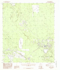
1984 · Saratoga
USGS Topo · 1:24,000
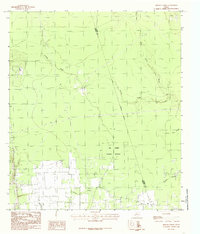
1984 · Arizona Creek
USGS Topo · 1:24,000