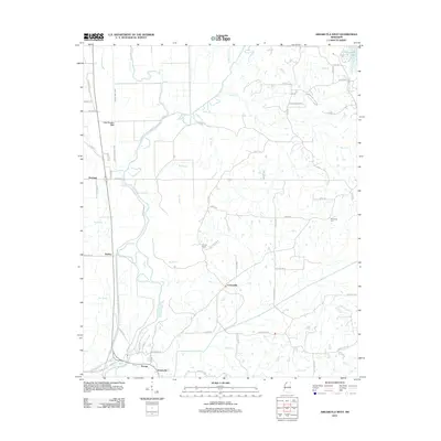
2012 Map of Arkabutla West
USGS Topo · Published 2012About this map
The Coldwater River Levee dominates the western portion of this landscape, reflecting long-standing efforts to manage the water of the Coldwater River as it moves toward the Mississippi Delta. Near the southern edge of the sheet, the crossroads of Savage and Evansville represent the local agricultural hubs, while Prichard and Dooley occupy the flatter terrain further north. The map details an intricate network of waterways and drainage projects, including Ditch Number Eight, Big Bayou, and Arkabutla Cr, illustrating how the natural hydrology has been altered for cultivation.
Find a feature on this map
64 named features on this map. Tap any name to fly to it.
Don’t see what you’re looking for? This feature index may not catch every label — zoom into the map to look around manually.
Map Details
Editions of this 2012 Arkabutla West Map
This is the sole edition of this map. No revisions or reprints were ever made.
Other maps of this area

1908 · Hollywood
USGS Topo · 1:24,000

1908 · Walnut Lake
USGS Topo · 1:24,000

1910 · Walnut Lake
USGS Topo · 1:31,680

1913 · Hollywood
USGS Topo · 1:31,680

1931 · Horseshoe Lake
USGS Topo · 1:62,500

1932 · Horn Lake
USGS Topo · 1:48,000

1932 · Crenshaw
USGS Topo · 1:62,500

1935 · Crenshaw
USGS Topo · 1:62,500

1935 · Horn Lake
USGS Topo · 1:62,500

1939 · Clayton
USGS Topo · 1:62,500