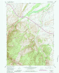
1958 Map of Arlington
USGS Topo · Published 1984About this map
The settlement of Arlington serves as a focal point for this landscape where high-plains ranching meets the northern reaches of the Medicine Bow National Forest. The map documents a transition from the drainage of Rock Creek into the rugged elevations of Rock Mountain and Deer Mountain. Of significant historical interest is the presence of the Overland Trail, which cuts across the terrain as a reminder of 19th-century westward migration routes. The area's agricultural identity is clearly defined by several named operations, including Brokaw Ranch, Old Fisher Ranch, and White Ranch, while later 20th-century recreational development is signaled by the inclusion of a Ski Slide and Ski Lift. These features, alongside modern infrastructure like an Aqueduct and Pipeline, illustrate the evolving utility of this Carbon County region.
Find a feature on this map
28 named features on this map. Tap any name to fly to it.
Don’t see what you’re looking for? This feature index may not catch every label — zoom into the map to look around manually.
Map Details
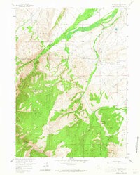
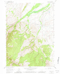
Editions of this 1958 Arlington Map
4 editions found
Other maps of this area

1906 · Medicine Bow
USGS Topo · 1:125,000

1908 · Medicine Bow
USGS Topo · 1:125,000

1954 · Rawlins
USGS Topo · 1:250,000

1958 · Rawlins
USGS Topo · 1:250,000

1958 · White Rock Canyon
USGS Topo · 1:24,000

1958 · Bengough Hill
USGS Topo · 1:24,000

1958 · Arlington
USGS Topo · 1:24,000

1958 · Mc Fadden
USGS Topo · 1:24,000
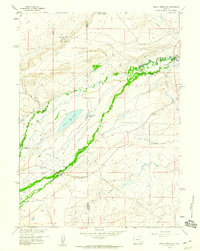
1958 · Pierce Reservoir
USGS Topo · 1:24,000

1958 · T L Ranch
USGS Topo · 1:24,000