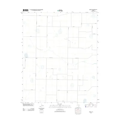
2012 Map of Arney
USGS Topo · Published 2012About this map
Arney sits at the intersection of a vast grid of agricultural roads in the High Plains of Castro County. This 2012 survey reveals a landscape dominated by large-scale irrigation and cattle-ranching infrastructure, with topographic depressions creating scattered playa lakes across the terrain. The most prominent water feature is Cone Johnson Lake, located east of the primary north-south corridor of Ranch Road 168. The map documents a rigid geometric settlement pattern where numbered county roads like Co Rd-607 and Co Rd-528 delineate the expansive fields and ranch lands characteristic of the Texas Panhandle's rural economy during the early 21st century.
Find a feature on this map
19 named features on this map. Tap any name to fly to it.
Don’t see what you’re looking for? This feature index may not catch every label — zoom into the map to look around manually.
Map Details
Editions of this 2012 Arney Map
This is the sole edition of this map. No revisions or reprints were ever made.
Other maps of this area

1954 · Plainview
USGS Topo · 1:250,000

1954 · Clovis
USGS Topo · 1:250,000

1958 · Clovis
USGS Topo · 1:250,000

1958 · Plainview
USGS Topo · 1:250,000

1960 · Canyon
USGS Topo · 1:62,500

1961 · Buffalo Lake
USGS Topo · 1:62,500

1965 · Lakeview
USGS Topo · 1:24,000

1965 · Nazareth SW
USGS Topo · 1:24,000

1965 · Nazareth
USGS Topo · 1:24,000

1966 · Tulia NW
USGS Topo · 1:24,000