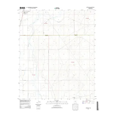
2013 Map of Artesia NE
USGS Topo · Published 2013About this map
Lake Arthur serves as the primary hub in this arid landscape near the Chaves and Eddy County line. The settlement, featuring its local Po at the intersection of E Broadway Rd and 1st St, is defined by its proximity to the wandering path of the Pecos River. The river corridor is joined by several ephemeral drainage systems, including Walnut Creek and Cottonwood Creek, which cut through the open plains.
Find a feature on this map
26 named features on this map. Tap any name to fly to it.
Don’t see what you’re looking for? This feature index may not catch every label — zoom into the map to look around manually.
Map Details
Editions of this 2013 Artesia NE Map
This is the sole edition of this map. No revisions or reprints were ever made.
Other maps of this area

1951 · Ninemile Well
USGS Topo · 1:24,000

1951 · Diamond Mound
USGS Topo · 1:24,000

1951 · Hagerman
USGS Topo · 1:24,000

1952 · Hagerman SW
USGS Topo · 1:24,000

1953 · Espuela
USGS Topo · 1:24,000

1954 · Carlsbad
USGS Topo · 1:250,000

1955 · Artesia
USGS Topo · 1:24,000

1955 · Artesia NE
USGS Topo · 1:24,000

1955 · Spring Lake
USGS Topo · 1:24,000

1955 · Roswell
USGS Topo · 1:250,000