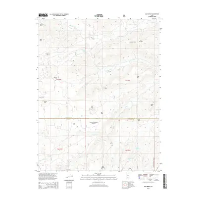
2014 Map of Asay Bench
USGS Topo · Published 2014About this map
Dixie National Forest land dominates this high-elevation landscape along the boundary of Garfield and Kane Counties. The terrain is defined by a series of prominent plateaus and volcanic-influenced features, most notably the broad expanse of the Asay Bench and the adjacent Asay Knoll. Water sources are vital markers in this arid environment, with Wilson Spring, Black Rock Spring, and Cold Spring providing reliable points of reference for those tracing historical land use or grazing routes.
Find a feature on this map
36 named features on this map. Tap any name to fly to it.
Don’t see what you’re looking for? This feature index may not catch every label — zoom into the map to look around manually.
Map Details
Editions of this 2014 Asay Bench Map
This is the sole edition of this map. No revisions or reprints were ever made.
Other maps of this area

1886 · Kanab
USGS Topo · 1:250,000

1953 · Cedar City
USGS Topo · 1:250,000

1958 · Cedar City
USGS Topo · 1:250,000

1958 · Orderville
USGS Topo · 1:62,500

1958 · Panguitch Lake
USGS Topo · 1:62,500

1962 · Cedar City
USGS Topo · 1:250,000

1966 · Alton
USGS Topo · 1:24,000

1966 · Hatch
USGS Topo · 1:24,000

1966 · George Mtn
USGS Topo · 1:24,000

1980 · Panguitch
USGS Topo · 1:100,000