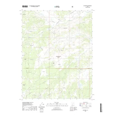
2020 Map of Asay Bench
USGS Topo · Published 2020About this map
Dixie National Forest covers much of this high-elevation landscape, where the border of Garfield and Kane counties runs through a complex system of plateaus and valleys. The Markagunt Plateau dominates the southern reaches, characterized by geological features like Mammoth Cave and the distinct volcanic outcropping of Black Rock. This topography is defined by its drainages, where Mammoth Cr and Asay Cr cut through the terrain, supported by reliable water sources such as Wilson Spring and Black Rock Spring. The map reveals a network of forest access routes, including the Turkey Track Loop and Asay Creek Loop, which navigate the flats and knolls of the high country. Landforms like Asay Bench and Ikes Valley provide level ground amidst the prominent rises of Little Mtn and Strawberry Knolls.
Find a feature on this map
46 named features on this map. Tap any name to fly to it.
Don’t see what you’re looking for? This feature index may not catch every label — zoom into the map to look around manually.
Map Details
Editions of this 2020 Asay Bench Map
This is the sole edition of this map. No revisions or reprints were ever made.
Other maps of this area

1886 · Kanab
USGS Topo · 1:250,000

1953 · Cedar City
USGS Topo · 1:250,000

1958 · Cedar City
USGS Topo · 1:250,000

1958 · Orderville
USGS Topo · 1:62,500

1958 · Panguitch Lake
USGS Topo · 1:62,500

1962 · Cedar City
USGS Topo · 1:250,000

1966 · Alton
USGS Topo · 1:24,000

1966 · Hatch
USGS Topo · 1:24,000

1966 · George Mtn
USGS Topo · 1:24,000

1980 · Panguitch
USGS Topo · 1:100,000