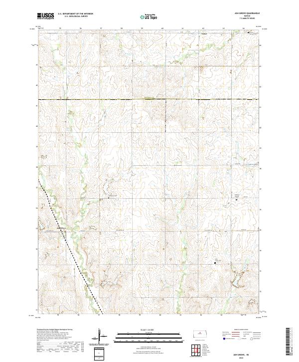
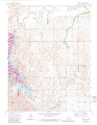
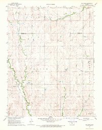
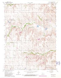
2022 Map of Ash Grove
USGS Topo · Published 2022About this map
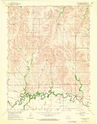
Ash Grove and Victor sit amidst a network of drainage systems along the border of Mitchell and Lincoln counties. The terrain is defined by the headwaters of several prominent local waterways, including Rock Cr, W Rock Cr, and Rattlesnake Cr, which carve through the land in a series of branching valleys. This area reflects a deeply rooted rural community, evidenced by the numerous cemeteries distributed across the landscape, such as Patterson Cem and Round Springs Cem.
Find a feature on this map
28 named features on this map. Tap any name to fly to it.
Don’t see what you’re looking for? This feature index may not catch every label — zoom into the map to look around manually.
Map Details
Editions of this 2022 Ash Grove Map
This is the sole edition of this map. No revisions or reprints were ever made.
Historical Maps of Victor Through Time
20 maps found
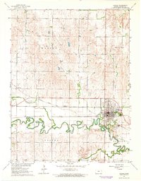
1962 Lincoln
Lincoln County, KS
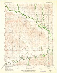
1962 Vesper
Lincoln County, KS
1963 Juniata
Lincoln County, KS
1963 Shady Bend
Lincoln County, KS
1963 Westfall
Lincoln County, KS
1964 Westfall NW
Lincoln County, KS
1964 Wilson NE
Lincoln County, KS
1964 Wilson NW
Lincoln County, KS
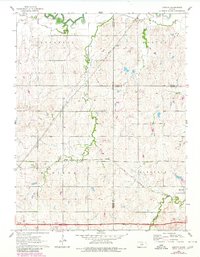
1968 Ash Grove
Lincoln County, KS
1968 Lincoln NW
Lincoln County, KS
2022 Ash Grove
Lincoln County, KS
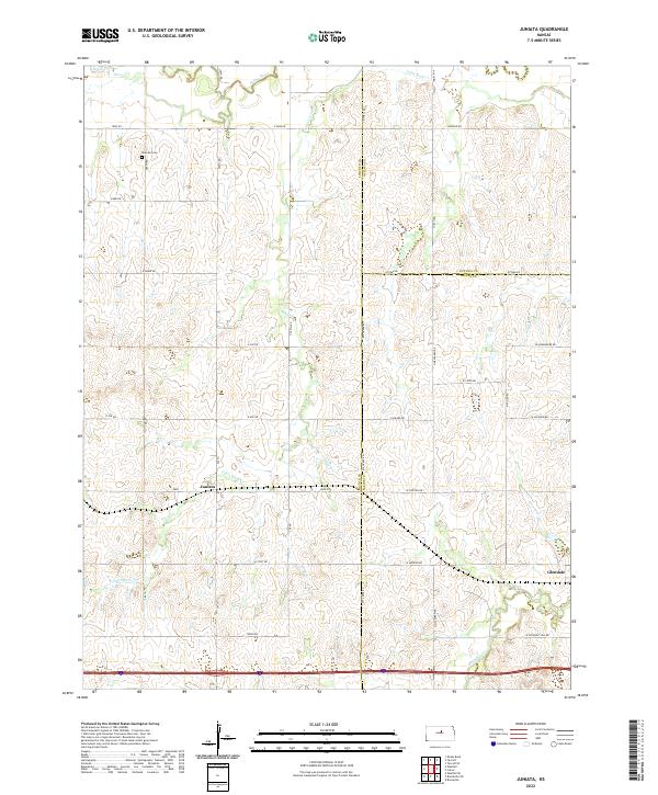
2022 Juniata
Lincoln County, KS
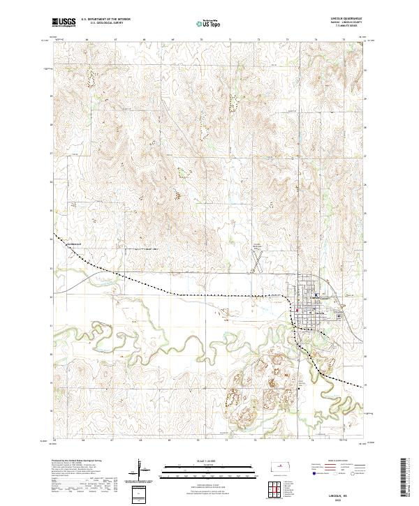
2022 Lincoln
Lincoln County, KS
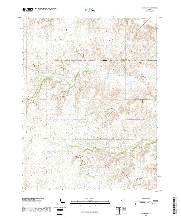
2022 Lincoln NW
Lincoln County, KS
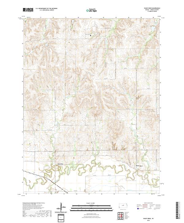
2022 Shady Bend
Lincoln County, KS
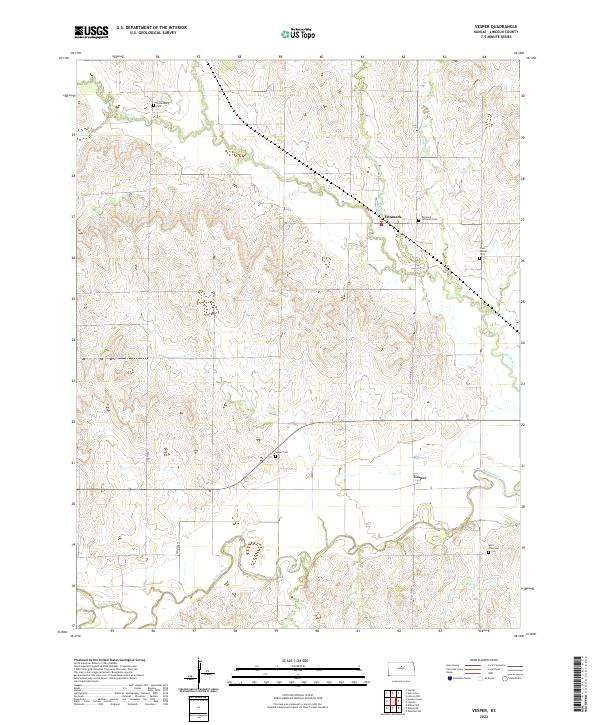
2022 Vesper
Lincoln County, KS
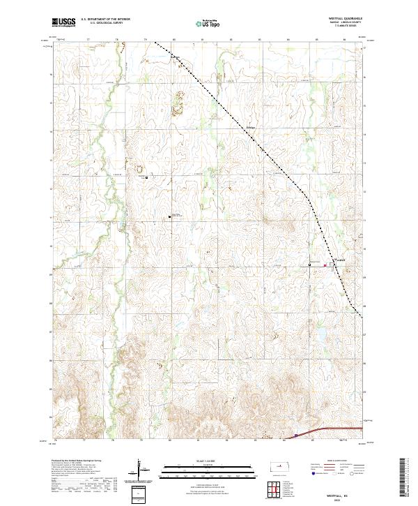
2022 Westfall
Lincoln County, KS
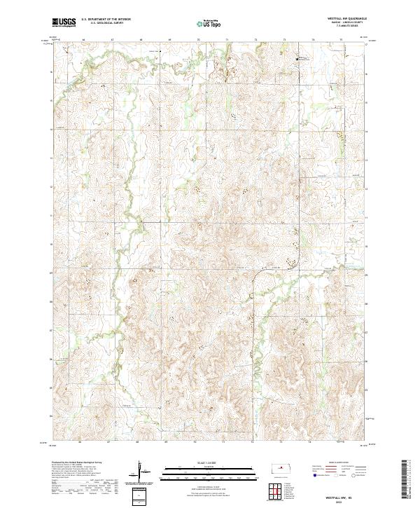
2022 Westfall NW
Lincoln County, KS
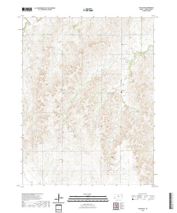
2022 Wilson NE
Lincoln County, KS
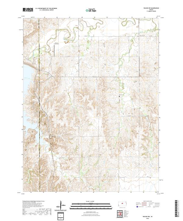
2022 Wilson NW
Lincoln County, KS