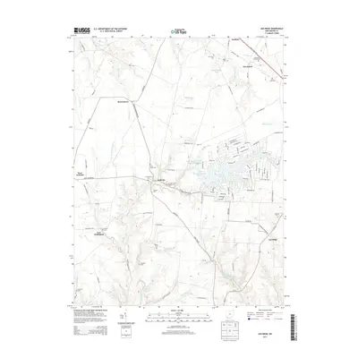
2013 Map of Ash Ridge
USGS Topo · Published 2013About this map
Sardinia sits at the northern edge of this Brown County landscape, where the Appalachian Hwy cuts through a terrain defined by numerous small creek valleys and upland farm plots. The map reveals a complex network of rural cemeteries that speak to the area's genealogical history, including the Methodist Colored Cem, Saint Marys Cem, and Arnheim Cem. The central part of the quadrangle is dominated by the sprawling waters of Lake Waynoka, surrounded by a dense residential street grid that contrasts sharply with the traditional agricultural layout of nearby Arnheim and Five Points.
Find a feature on this map
116 named features on this map. Tap any name to fly to it.
Don’t see what you’re looking for? This feature index may not catch every label — zoom into the map to look around manually.
Map Details
Editions of this 2013 Ash Ridge Map
This is the sole edition of this map. No revisions or reprints were ever made.
Other maps of this area

1917 · Hillsboro
USGS Topo · 1:62,500

1917 · Sardinia
USGS Topo · 1:62,500

1918 · Seaman
USGS Topo · 1:62,500

1928 · Higginsport
USGS Topo · 1:48,000

1931 · Higginsport
USGS Topo · 1:62,500

1944 · Hillsboro
USGS Topo · 1:62,500

1944 · Sardinia
USGS Topo · 1:62,500

1947 · Columbus
USGS Topo · 1:250,000

1952 · Higginsport
USGS Topo · 1:24,000

1957 · Huntington
USGS Topo · 1:250,000