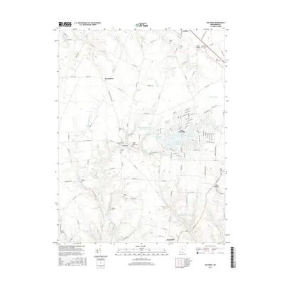
2016 Map of Ash Ridge
USGS Topo · Published 2016About this map
Lake Waynoka dominates the central landscape of this Brown County region, its jagged shoreline branching into residential developments defined by streets like Tucucari Dr and Sitting Bull Dr. The surrounding area retains its agricultural character, dotted with small hamlets such as Arnheim and Ash Ridge. Genealogists will find a wealth of burial grounds throughout the rural countryside, including the Methodist Colored Cem near Five Points and the Saint Marys Cem west of the lake. The topography is defined by the drainage basins of Straight Creek and the Northwest Fork Eagle Cr, which feed local water systems like the Russellville Watersupply Reservoir. This map illustrates the transition from traditional farming settlements like Brownstown to modern lakeside living, all while preserving the locations of numerous family and church-affiliated cemeteries.
Find a feature on this map
134 named features on this map. Tap any name to fly to it.
Don’t see what you’re looking for? This feature index may not catch every label — zoom into the map to look around manually.
Map Details
Editions of this 2016 Ash Ridge Map
This is the sole edition of this map. No revisions or reprints were ever made.
Other maps of this area

1917 · Hillsboro
USGS Topo · 1:62,500

1917 · Sardinia
USGS Topo · 1:62,500

1918 · Seaman
USGS Topo · 1:62,500

1928 · Higginsport
USGS Topo · 1:48,000

1931 · Higginsport
USGS Topo · 1:62,500

1944 · Hillsboro
USGS Topo · 1:62,500

1944 · Sardinia
USGS Topo · 1:62,500

1947 · Columbus
USGS Topo · 1:250,000

1952 · Higginsport
USGS Topo · 1:24,000

1957 · Huntington
USGS Topo · 1:250,000