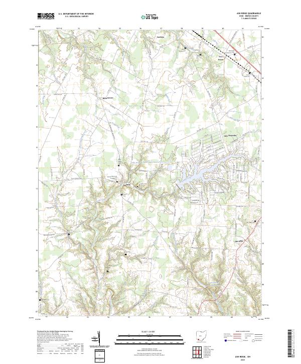
2023 Map of Ash Ridge
USGS Topo · Published 2023About this map
The rolling agricultural landscape of northern Brown County is defined by its deep genealogical roots and the winding paths of Straight Creek and Middle Run. Local history is anchored by numerous small burial grounds and parish sites, including the notable Methodist African American Cem near Five Points, and the German Reformed Presbyterian Cem situated just north of Arnheim. These small, family and community-aligned cemeteries are scattered among the farms, suggesting a long-standing pattern of rural settlement that persists even as modern developments like Lake Waynoka introduce denser residential grids near the Lake Waynoka Water Supply Reservoir.
Find a feature on this map
128 named features on this map. Tap any name to fly to it.
Don’t see what you’re looking for? This feature index may not catch every label — zoom into the map to look around manually.
Map Details
Editions of this 2023 Ash Ridge Map
This is the sole edition of this map. No revisions or reprints were ever made.
Other maps of this area

1917 · Hillsboro
USGS Topo · 1:62,500

1917 · Sardinia
USGS Topo · 1:62,500

1918 · Seaman
USGS Topo · 1:62,500

1928 · Higginsport
USGS Topo · 1:48,000

1931 · Higginsport
USGS Topo · 1:62,500

1944 · Hillsboro
USGS Topo · 1:62,500

1944 · Sardinia
USGS Topo · 1:62,500

1947 · Columbus
USGS Topo · 1:250,000

1952 · Higginsport
USGS Topo · 1:24,000

1957 · Huntington
USGS Topo · 1:250,000