Loading...
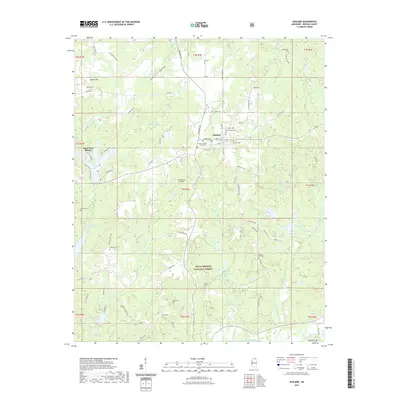
Loading map...1950 Map of Ashland
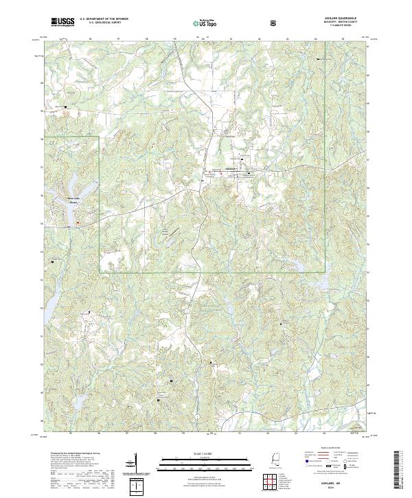
USGS Topo · Published 1964About this map
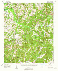
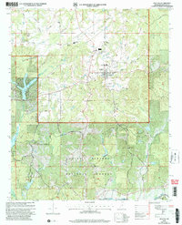
Ashland serves as the focal point of this Benton County survey, situated amidst a landscape of small agricultural settlements and rural congregations. The northern reaches are defined by the Illinois Central railroad corridor passing through Michigan City, while the southern portion transitions into the managed timberlands of the Holly Springs National Forest. The map captures a high density of local landmarks essential for genealogical research, including numerous family-named burial grounds like the Valentine Cem and McKinzie Cem.
Find a feature on this map
83 named features on this map. Tap any name to fly to it.
Don’t see what you’re looking for? This feature index may not catch every label — zoom into the map to look around manually.
Map Details
Date Portrayed1950
Date Published1964
PublisherU.S. Geological Survey
Map TypeTopographic
Scale1:62,500
Physical Dimensions16.9 x 20.8 inches
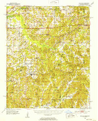
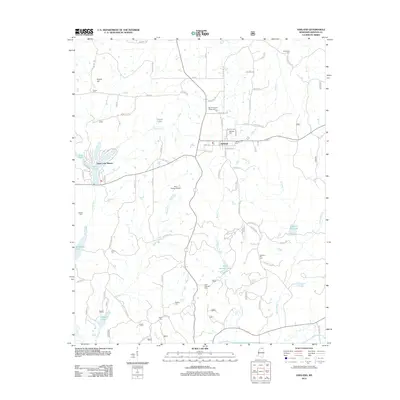
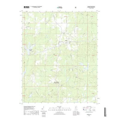
Editions of this 1950 Ashland Map
3 editions found
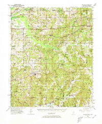
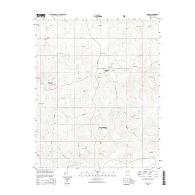
Historical Maps of Ashland Through Time
8 maps found
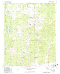
Featured Locations
Source Details
SourceU.S. Geological Survey
CopyrightPublic Domain