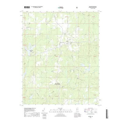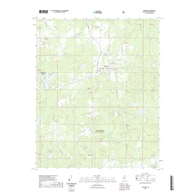
1950 Map of Ashland
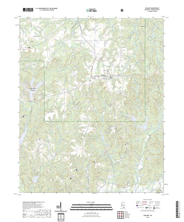
USGS Topo · Published 1973About this map
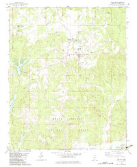
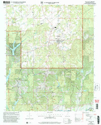
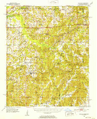
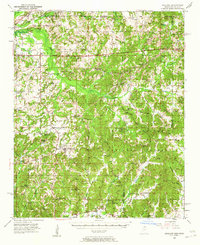
The county seat of Ashland anchors this 1950s-era study of the north-central Mississippi borderlands. The landscape is defined by the sweeping reach of the Holly Springs National Forest, which blankets much of the southern and central terrain. In the north, the Central Illinois railroad cuts through Michigan City, connecting the region's agricultural output to broader markets. The Wolf River and its intricate drainage system, including Robinson Bottom and Indian Creek, shape the settlement patterns, with numerous country churches and schools like Macedonia Ch and Old Salem Sch serving as community hubs. The presence of specialized landmarks like the Curtis Crawford Lookout Tower and the Airway Beacon underscores the post-war development of forestry and navigation infrastructure in this rural upland environment.
Find a feature on this map
90 named features on this map. Tap any name to fly to it.
Don’t see what you’re looking for? This feature index may not catch every label — zoom into the map to look around manually.
Map Details
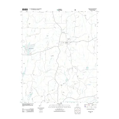
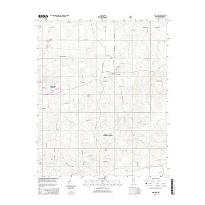
Editions of this 1950 Ashland Map
3 editions found
Historical Maps of Ashland Through Time
8 maps found