
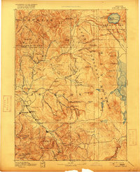
1893 Map of Ashland
USGS Topo · Published 1893About this map
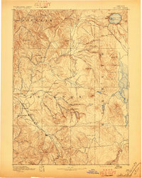
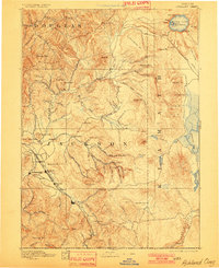
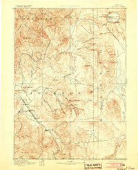
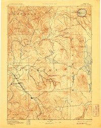
Jacksonville and the burgeoning rail town of Medford serve as the primary hubs in this late nineteenth-century survey of Southern Oregon. The Oregon and California R. R. cuts a distinct path through the Rogue River Valley, anchoring settlements like Talent and Ashland to the broader regional economy. This network of transit and trade contrasts sharply with the high elevations to the east, where the volcanic topography of the Cascades is punctuated by Crater Lake and its central Wizard Id.
Find a feature on this map
99 named features on this map. Tap any name to fly to it.
Don’t see what you’re looking for? This feature index may not catch every label — zoom into the map to look around manually.
Map Details
Editions of this 1893 Ashland Map
6 editions found
Other maps of this area

1886 · Modoc Lava Bed
USGS Topo · 1:250,000

1886 · Shasta
USGS Topo · 1:250,000

1889 · Klamath
USGS Topo · 1:250,000

1891 · Ashland
USGS Topo · 1:250,000

1892 · Modoc Lava-Bed
USGS Topo · 1:250,000

1894 · Klamath
USGS Topo · 1:250,000

1894 · Shasta
USGS Topo · 1:250,000

1897 · Roseburg
USGS Topo · 1:125,000

1897 · Ashland
USGS Topo · 1:250,000

1900 · Roseburg
USGS Topo · 1:125,000